What is recorded here
A possible field system identified as cropmarks on an aerial photograph (GSI 1973-7). It consists of two roughly parallel ditches (L c. 300m) running NW-SE, the easternmost appears to run southward from the E angle of a moated site (KK002-003001-). The ditches towards the N are c. 90m apart and narrow towards the S to c. 60m apart. There are also two ditches at right angles between the NW-SE ditches. These may be part of a field system associated with the moated site or may be related to later farm drainage activity. The field system was not visible at ground level at time of inspection.
Compiled by: Jean Farrelly
Date of upload: 2 September 2015
The monument record does not grant public access. Check the route and ask the landowner before entering private land.
- What survives
- Recorded monument
Places near here
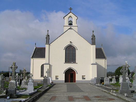 Saint Patrick's Catholic Churchchurch/chapel · 817 yd
 IndicatedHoly well · 1187 yd
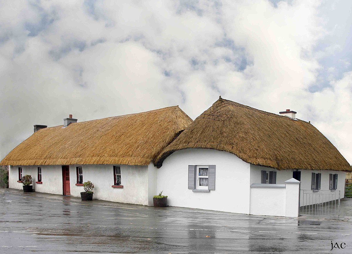 Enclosure in CloghEnclosure · 1234 yd
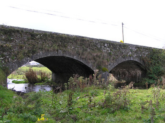 Clogh Bridgebridge · 1239 yd
 CastleCastle, unclassified · 1552 yd
 European ashEuropean ash · 3.0 mi
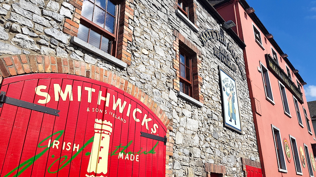 Glenmullen WoodWood · 3.4 mi
 Kilgorey Old BurialVisitor information · 3.5 mi
 Ardra LoopWalking route · 3.6 mi
 Castlecomer Discovery ParkHeritage attraction · 4.1 mi
 Footprints In CoalMuseum · 4.1 mi
 Estate YardMemorial · 4.1 mi