What is recorded here
Located on a gentle S-facing slope. An area of bare limestone karst with grass and scrub covering about 60 acres (c. 24 ha) contains the grass-covered remains of stone walls creating fields that are roughly rectangular in form (dims c. 50m x c. 100m). There are some smaller fields sometimes with evidence of lazy bed cultivation but no house sites were identified.
Compiled by: Michael Moore
Date of upload: 24 August 2010
The monument record does not grant public access. Check the route and ask the landowner before entering private land.
- What survives
- Recorded monument
Places near here
 IndicatedField boundary · 1115 yd
 LiscreevaghFairy fort / earthen ringfort · 1333 yd
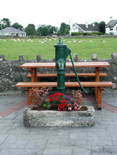 water pumpwater pump · 1748 yd
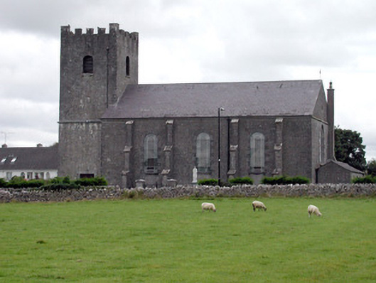 Saint Joseph's Catholic Churchchurch/chapel · 1.0 mi
 Inch IslandIsland · 1.4 mi
 CastleCastle, unclassified · 2.7 mi
 Inchnaveague IslandIslet · 2.9 mi
 Tower (in Ruins)Castle, tower house · 4.8 mi
 Sheep HillMountain / peak · 5.4 mi
 LismoneyForest · 5.6 mi
 Aughrane WoodsForest · 5.8 mi
 Mount MaryMountain / peak · 8.9 mi