What is recorded here
Covering a roughly rectangular area (dims. L c. 450m E-W; Wth c. 280m N-S) in fairly level, wet pasture, bisected by a small S-flowing stream which separates a medieval church (KD006-003----) and graveyard (KD006-003001-) to the SW from a tower house (KD006-004----) to the NE. The remains to the E of the stream, around the castle, comprise a rectangular area (dims. L c. 70m E-W; Wth c. 55m) defined along the S and at the SW corner by a low, broad, earthen bank (Wth 4-5m; int H 0.4m; ext H 1m) and a wide, shallow, outer fosse (Wth 4m; D 0.4-1m) which is crossed mid-way along it's length by an earthen causeway (Wth 4m). A shallow, roughly circular pond (diam c. 12m; D 0.5m) occurs at WSW and is fed from the N by a meandering fosse/drain (Wth 4m; D 1-1.5m) which forms the W limits and which angles sharply E at NW and continues in a straight line E to meet a more modern earthen field boundary which runs N-S and forms the E limits of the site. Traces of low, narrow cultivation ridges (Wth 1.4m; H 0.10-0.15m) with narrow furrows (Wth 0.3-0.4m) running N-S survive in the N-third of the pastured interior, while to the S, similar but more denuded ridges run E-W. Abutting the external SW corner and sharing the main field's fosse at SE and along the S is a smaller rectangular area (dims. L c. 20m E-W; Wth c. 14m) defined along the W by a narrow, shallow fosse (Wth 1.3m; D 0.2m) and along the N by a low scarp (ext H 0.5m) with lower, wetter ground outside. The interior also contains low, narrow cultivation ridges running N-S. Immediately W of this small field is the low platform marking the levelled portion of the tower house and just beyond to the W there is a small sub-rectangular enclosure (dims. L c. 10m N-S; Wth c. 8m) abutting the S-flowing stream at W and defined along N, E and S by a low earthen bank (Wth 2-3m; H 0.4-0.6m).
Across the stream, to the W, the remains survive to the W of the church and graveyard and comprise a long, gently curving chord of fosse (possibly the remains of an ecclesiastical enclosure?), (L c. 93m NE-SW; Wth 4m; D 0.5m) which abuts the stream at its N end and which is truncated by a low WNW-ESE scarp (H 0.6m) at the S end. Mid way along its length a similar fosse runs E to the graveyard wall while near its N end a low scarp (H 0.5m) runs SE towards the church, immediately N of which is a low, oval earthen mound (diams. 10m NE-SW; 6m NW-SE; H 0.3-0.5m) defined by a scarp.
Compiled by: Gearóid Conroy
Date of upload: 10 June 2011
The monument record does not grant public access. Check the route and ask the landowner before entering private land.
- What survives
- Recorded monument
Places near here
 Confey CastleCastle, tower house · 70 yd
 Confey ChurchChurch · 161 yd
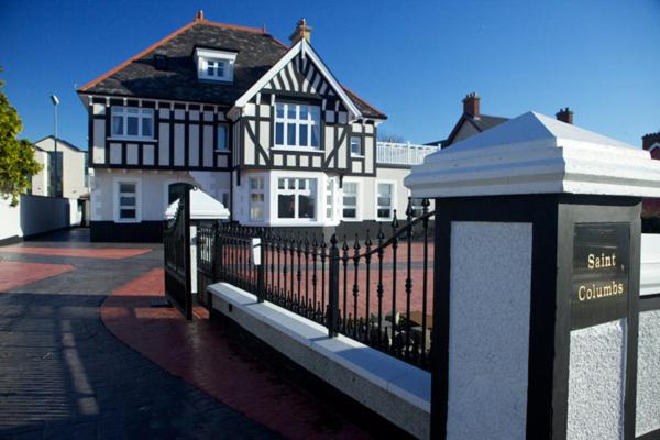 St Columbs WellHoly well · 754 yd
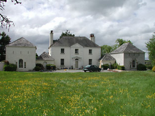 Newtown Hill Househouse · 1133 yd
 St. Catherines WellsHoly well · 1394 yd
 Sli Na Sláinte Leixlip SliWalking route · 1413 yd
 Squirrel WoodWood · 1438 yd
 Guinness' BreweryMemorial · 1628 yd
 Leixlip MonumentMemorial · 1747 yd
 Lucan DemenseHeritage attraction · 1.2 mi
 Sli Na Sláinte Leixlip Lucan DesmenseWalking route · 1.2 mi
 The Wonderful BarnHeritage attraction · 1.7 mi