What is recorded here
In pasture. Irregular field boundaries are visible in an aerial photograph (IASAP, 3037055-6) covering an area c. 200m x 150m. They were described in 1992 (SMR (1989) file) as low curvilinear stone walls (Wth 1m; max. H 0.4m). These walls could not be located during a subsequent site inspection in 2002.
The above description is derived from the published 'Archaeological Inventory of County Sligo' compiled by Ursula Egan, Elizabeth Byrne, Mary Sleeman with Sheila Ronan and Connie Murphy (Dublin Stationery Office, 2005).
Date of upload: 18 January 2008
The monument record does not grant public access. Check the route and ask the landowner before entering private land.
- What survives
- Recorded monument
Places near here
 Kilederdaowen (Site of)Church · 157 yd
 Ecclesiastical enclosure in CloonmacduffEcclesiastical enclosure · 161 yd
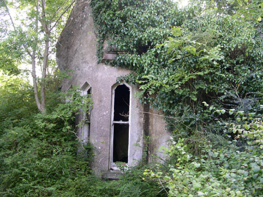 Markree Castlegate lodge · 307 yd
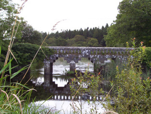 bridgebridge · 406 yd
 European ashEuropean ash · 1181 yd
 Teeling MonumentMemorial · 1223 yd
 Battle of Collooneybattle · 1228 yd
 CastleCastle, motte and bailey · 1361 yd
 Union RockForest · 1606 yd
 BunreecoillMountain / peak · 2.0 mi
 Castle (Site of)Castle, unclassified · 2.1 mi
 SlievewardMountain / peak · 2.4 mi