
What is recorded here
Castlefarm held a field system of drains and scarped banks beside its church and castle. The western half now belongs to stables and a roadway, yet the eastern edge still shadows the old division. People may have worked that level ground for generations before the stones rose, shaping soil and water with patient hands.
Located in a large level field east of the church (DU011-011001-) and castle (DU011-011004-) at Kilsallaghan, there was a field system defined by drains and scarped banks. It is particularly evident on the Bird's eye viewer of Bing Maps. Stables and roadway now occupy the western half of the field. Test-excavation and monitoring was undertaken (Licence no. 09E0357) within the field but nothing of archaeological significance was identified (Meenan 2009).
Compiled by: Geraldine Stout
Updated by: Christine Baker
Date of upload: 03 January 2015
The monument record does not grant public access. Check the route and ask the landowner before entering private land.
- What survives
- Recorded monument
Places near here
 CastleCastle, tower house · 95 yd
 Ecclesiastical enclosure in Castlefarm (nethercross By., Kilsallaghan Ed)Ecclesiastical enclosure · 95 yd
 MoatEarthwork · 112 yd
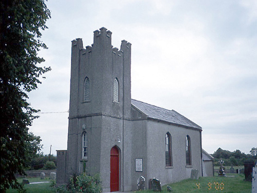 Saint David's Church (Kilsallaghan)church/chapel · 127 yd
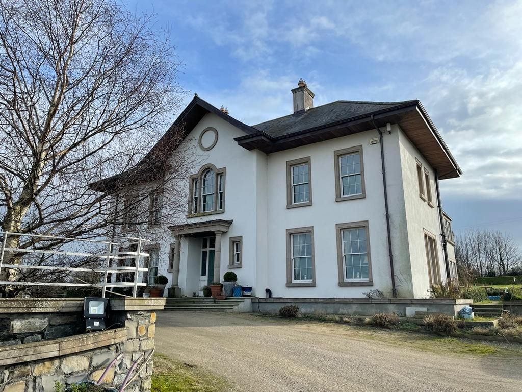 Kilcoskan HouseHouse, 16th/17th century · 1372 yd
 Freedagh MoatCastle, motte · 1658 yd
 Graveyard in KillosseryGraveyard · 1.0 mi
 Wooly Ward's FarmHeritage attraction · 2.4 mi
 St Cronans WellSpring · 3.1 mi
 AshbourneMemorial · 3.1 mi
 The JackoWood · 3.4 mi
 Horizon Logistics ParkVisitor information · 4.0 mi
Other information
Photo: Credit not shown in the picture search · Rights wording not checked; contact us if this picture should be removed