
What is recorded here
There are traces of a flat wide embankment NW of the church outside the graveyard wall (Wth.7m, H 0.40m) which is probably the remains of an ecclesiastical enclosure, suggesting a pre-Norman date for this site. Swan (1971) identified further traces of it ; a double enclosure that extends from the SW to the NE near the curving roadway which runs adjacent to St David's church. An aerial study established the presence of a low curving bank enclosing the churchyard to the N and E (Clinton 2005, 36). Visible on Bird's Eye view on Bing Maps. Has been fenced off for horse enclosure-area completely poached.
Compiled by: Geraldine Stout
Update by: Christine Baker
Date of upload: 02 January 2015
The monument record does not grant public access. Check the route and ask the landowner before entering private land.
- What survives
- Recorded monument
Places near here
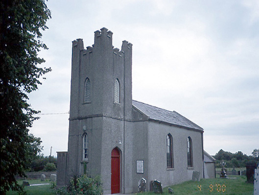 Saint David's Church (Kilsallaghan)church/chapel · 34 yd
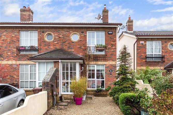 CastleCastle, tower house · 61 yd
 Field system in Castlefarm (nethercross By., Kilsallaghan Ed)Field system · 95 yd
 MoatEarthwork · 160 yd
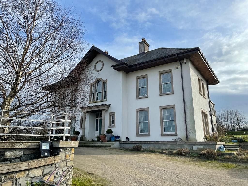 Kilcoskan HouseHouse, 16th/17th century · 1429 yd
 Freedagh MoatCastle, motte · 1735 yd
 Graveyard in KillosseryGraveyard · 1.0 mi
 Wooly Ward's FarmHeritage attraction · 2.4 mi
 AshbourneMemorial · 3.1 mi
 St Cronans WellSpring · 3.1 mi
 The JackoWood · 3.5 mi
 Horizon Logistics ParkVisitor information · 4.0 mi
Other information
Photo: Credit not shown in the picture search · Rights wording not checked; contact us if this picture should be removed