
What is recorded here
Located south east of the Castle (DU011-011006-) is a flat-topped earthwork (Diam. c. 15m, H 3m). Marked as a moat on historical maps. It has been truncated in the S by a field boundary. Currently fenced off.
Compiled by: Geraldine Stout
Updated by: Christine Baker
Date of upload: 03 January 2015
The monument record does not grant public access. Check the route and ask the landowner before entering private land.
- What survives
- Recorded monument
Places near here
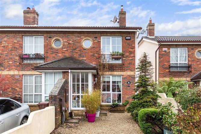 CastleCastle, tower house · 109 yd
 Field system in Castlefarm (nethercross By., Kilsallaghan Ed)Field system · 112 yd
 Ecclesiastical enclosure in Castlefarm (nethercross By., Kilsallaghan Ed)Ecclesiastical enclosure · 160 yd
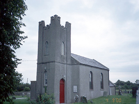 Saint David's Church (Kilsallaghan)church/chapel · 177 yd
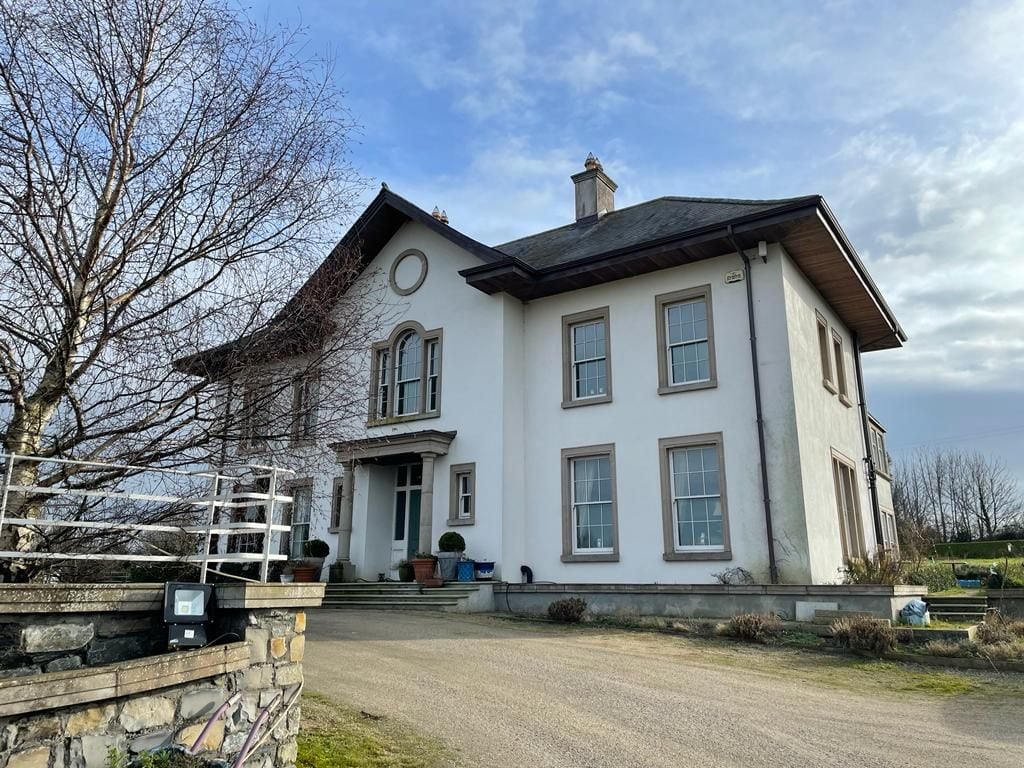 Kilcoskan HouseHouse, 16th/17th century · 1271 yd
 Freedagh MoatCastle, motte · 1578 yd
 Graveyard in KillosseryGraveyard · 1.1 mi
 Wooly Ward's FarmHeritage attraction · 2.5 mi
 St Cronans WellSpring · 3.1 mi
 AshbourneMemorial · 3.1 mi
 The JackoWood · 3.4 mi
 Horizon Logistics ParkVisitor information · 3.9 mi
Other information
Photo: Credit not shown in the picture search · Rights wording not checked; contact us if this picture should be removed