What is recorded here
Situated in gently undulating pasture in the field to S and W of Carrick church (WM026-083----) and graveyard (WM026-083001-). Not depicted on the 1837 OS 6-inch map or on the revised 1913 ed. OS 25-inch map. Monument described in 1984 as a system of banks and several enclosed areas defined by earth and stone banks. A rectangular-shaped area (dims. 58m E-W; 38m N-S) is visible immediately S of the graveyard and is partially within the present boundary. The bank (approx. max. H 2m) is best preserved on the E side. Adjoining to W is a second rectangular-shaped area (dims. 36m E-W; 15m N-S). Adjoining to E of the first enclosed area is a third long, narrow rectangular-shaped area (dims. 50m N-S; 14m E-W) defined by earth and stone banks. It narrows towards S, but is otherwise undefined at this end. The E side of this enclosed area is part of a continuous bank running N-S which extends the length of the field and continuing under the modern wall defining the public road to ESE. To SE of the first enclosed area is a fourth rectangular-shaped area (dims. 33m E-W; 25m N-S) defined by an earth and stone bank. There are no fosses or internal structural remains perhaps suggesting that this field system is 17th or 18th century in date. The remaining portions of the field at the N and S ends have no readily apparent features. The S end is quite uneven and may preserve the remains of other features which are unidentifiable at present.
Compiled by Alison McQueen, Vera Rahilly and Caimin O’Brien.
Date of upload: 04 November 2019
The monument record does not grant public access. Check the route and ask the landowner before entering private land.
- What survives
- Recorded monument
Places near here
 Church (in Ruins)Church · 100 yd
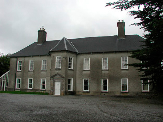 Carrick Housecountry house · 113 yd
 Enclosure in Carrick (fartullagh By.)Enclosure · 1179 yd
 Hachured, RahaclowineFairy fort / earthen ringfort · 1522 yd
 Robinstown CastleCastle · 1.0 mi
 CastleCastle, unclassified · 1.0 mi
 Mollie Moo's Pet FarmHeritage attraction · 1.3 mi
 Blind IslandIslet · 1.6 mi
 Belvedere house and gardensVisitor information · 1.7 mi
 Dysart IslandIsland · 2.3 mi
 Derrygreenagh HillMountain / peak · 6.2 mi
 Ardan WoodWood · 7.1 mi