What is recorded here
In rough heather and gorse-covered hill grazing on shallow bog, on the N-facing slopes of Bentee, overlooking Cahersiveen and Valencia Harbour. The remains of linear and curvilinear field walls (T 0.55m; H up to 0.8m), which are largely obscured by overgrowth, protrude above the surface of the bog in a roughly rectangular area (c. 110m NW-SE; c. 70m NE-SW). The wall remains consist of both boulder and slab type stones. There is a hut site (KE079-047----) in the NW portion of the field system. (O'Sullivan and Sheehan 1996, 394, no. 1176)
The above description is derived from the published 'Archaeological Inventory of County Kerry. Volume I: South-West Kerry' (Dublin: Stationery Office, 2009). In certain instances the entries have been revised and updated in the light of recent research.
Date of upload: 30 May 2011
The monument record does not grant public access. Check the route and ask the landowner before entering private land.
- What survives
- Recorded monument
Places near here
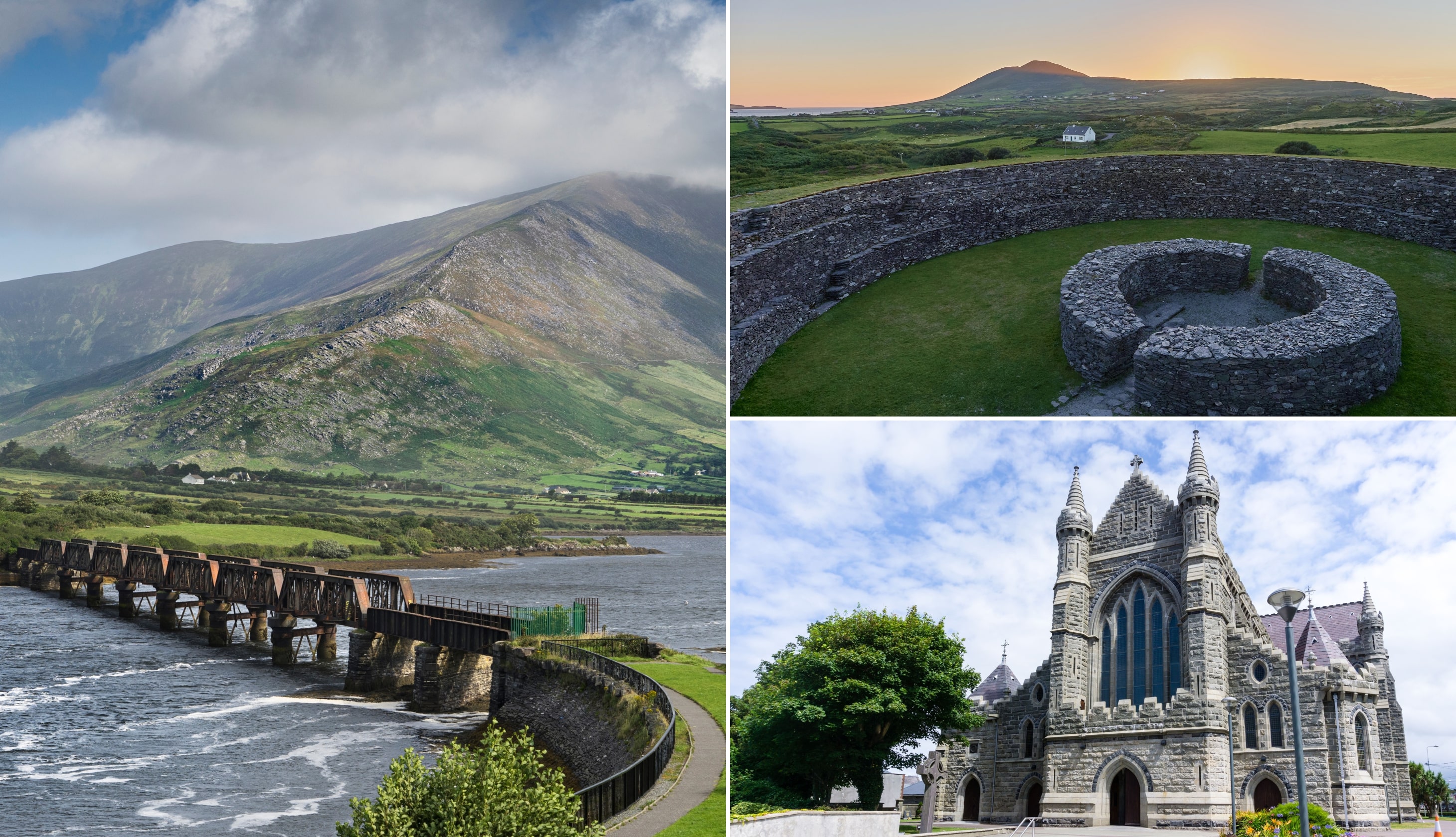 CloghaunsHut site · 21 yd
 Man-made underground passage in HillgroveMan-made underground passage · 366 yd
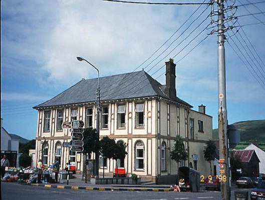 library/archivelibrary/archive · 749 yd
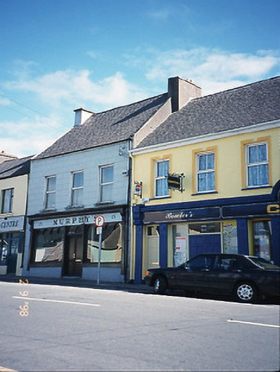 Murphy'shouse · 791 yd
 BenteeMountain / peak · 1322 yd
 CastleCastle, unclassified · 1413 yd
 Laharn Bog LoopWalking route · 1.2 mi
 Mc Crehins Castle (Site of)Castle, unclassified · 1.4 mi
 Foughil IslandIslet · 1.5 mi
 Ballycarbery CastleRuins · 1.9 mi
 White Strand BeachBeach / strand · 2.6 mi
 SlievaghMountain / peak · 3.1 mi