
What is recorded here
For descriptive account see O'Sullivan and Sheehan (1996, 404, no. 1293).
The above description is derived from the published 'Archaeological Inventory of County Kerry. Volume I: South-West Kerry' (Dublin: Stationery Office, 2009). In certain instances the entries have been revised and updated in the light of recent research.
Date of upload: 30 May 2011
The monument record does not grant public access. Check the route and ask the landowner before entering private land.
- What survives
- Recorded monument
Places near here
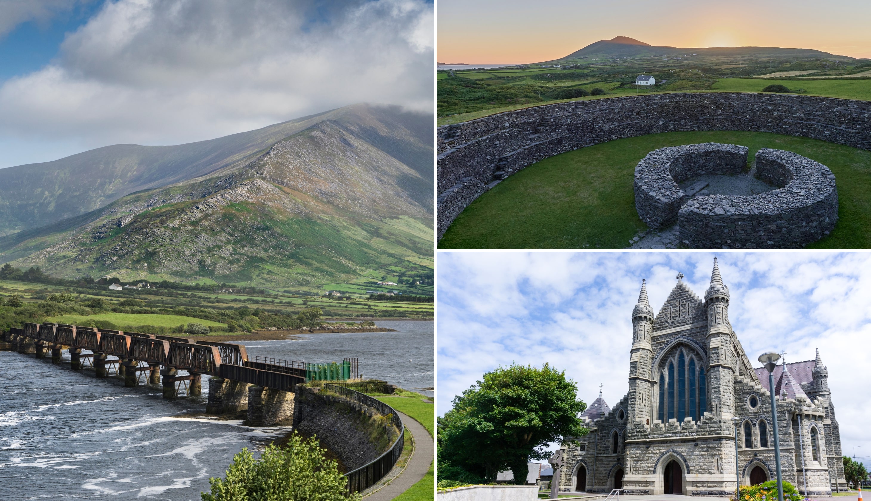 CloghaunsHut site · 387 yd
 TobarnamanfuneHoly well · 450 yd
 O'Connell Monumentmonument · 1046 yd
 Carhan Househouse · 1064 yd
 BenteeMountain / peak · 1234 yd
 CastleCastle, unclassified · 1700 yd
 Laharn Bog LoopWalking route · 1.0 mi
 Mc Crehins Castle (Site of)Castle, unclassified · 1.3 mi
 Foughil IslandIslet · 1.7 mi
 Ballycarbery CastleRuins · 2.1 mi
 White Strand BeachBeach / strand · 2.8 mi
 FoilcloghMountain / peak · 3.3 mi
Other information
Photo: Credit not shown in the picture search · Rights wording not checked; contact us if this picture should be removed