What is recorded here
Aerial photograph (GB96.GE.33) shows cropmarks of a series of linear fosses delineating a rectilinear field system.
Compiled by: Dr. Gillian Barrett
Date of upload: 08 December 2011
The monument record does not grant public access. Check the route and ask the landowner before entering private land.
- What survives
- Recorded monument
Places near here
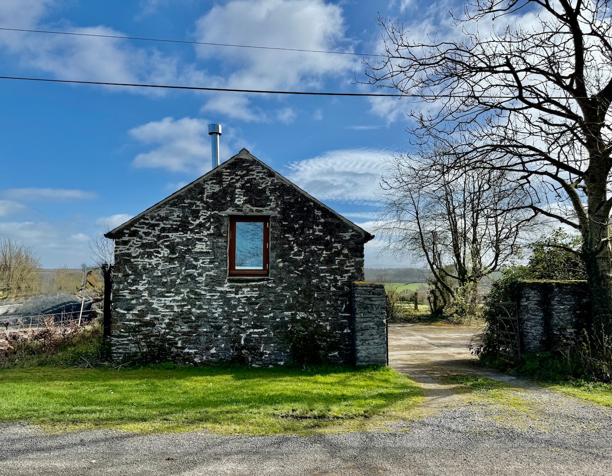 Enclosure in Burtown BigEnclosure · 138 yd
 Church (Site of)Church · 207 yd
 Burtown House and GardensHeritage attraction · 421 yd
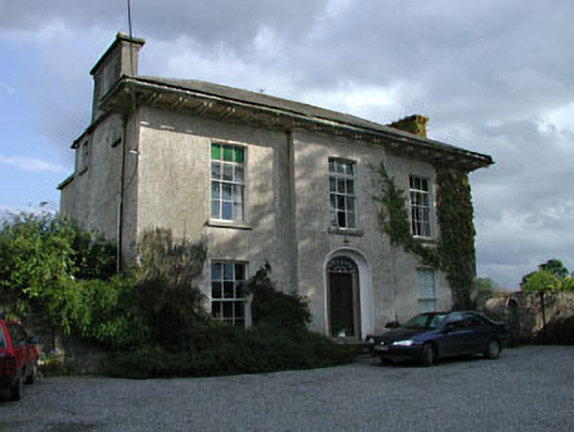 Burtown Housefarm house · 468 yd
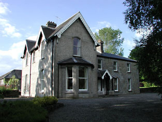 Burtownfarm house · 480 yd
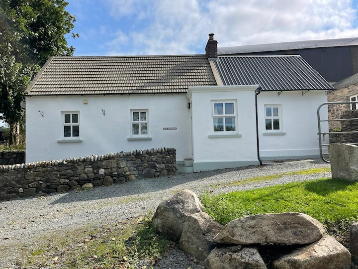 Ballycullane WoodForest · 1.1 mi
 Irishtown WoodWood · 1.1 mi
 Inch CastleCastle, tower house · 1.4 mi
 Gorden Bennet Race memorialMemorial · 2.4 mi
 History of Moat of ArdscullVisitor information · 2.5 mi
 Ardscull MoatCastle, motte · 2.5 mi
 Lorcán Ó TuathailMemorial · 4.4 mi