What is recorded here
On a gentle E-facing slope in undulating terrain, under tillage. A possible field system, which appears to be related to a circular cropmark (TS081-073001-), was identified as cropmarks on an aerial photograph (ASIAP (29) 32). It is not visible at ground level.
Compiled by: Jean Farrelly
Date of upload: 15 January 2014
The monument record does not grant public access. Check the route and ask the landowner before entering private land.
- What survives
- Recorded monument
Places near here
 Enclosure in Burges WestEnclosure · 24 yd
 Site of ChurchChurch · 384 yd
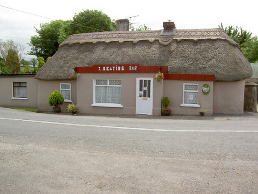 J. Keatinghouse · 1237 yd
 Catholic Church of Our Lady and Saint Kieranchurch/chapel · 1290 yd
 CastleCastle, motte · 1711 yd
 Knockane Castle ruinsCastle · 1.7 mi
 Garrycloher WoodForest · 2.3 mi
 Pedunculate OakPedunculate Oak · 3.1 mi
 Woodcock HillMountain / peak · 3.4 mi
 Cahir CastleHeritage attraction · 4.3 mi
 The VeeViewpoint · 4.4 miSiege of Cahir Castlesiege · 4.4 mi