
What is recorded here
On level tillage, covering an L-shaped area (dims. L c. 160m ENE-WSW; Wth c. 130m NW-SE) to the S and W of a rath (KD017-025001-). Aerial photographs taken in 1963 (CUCAP AHL094) and 1968 (CUCAP AVR007) show the crop marks of a system of rectangular and smaller sub-rectangular fields. The former are relatively modern…
Read the whole record
From the National Monuments Service (Archaeological Survey of Ireland) record KD017-025002
Places near here
Photo credits
- Maker not stated on source page, www.boboandchichi.com
- Maker not stated on source page, commons.wikimedia.org
- Maker not stated on source page, www.pinterest.com
- Maker not stated on source page, uk.pinterest.com
- Maker not stated on source page, en.wikipedia.org
- National Inventory of Architectural Heritage
- James Allan, Geograph · CC BY-SA 2.0
- Maker not stated on source page, www.flickr.com
- Maker not stated on source page, www.interment.net
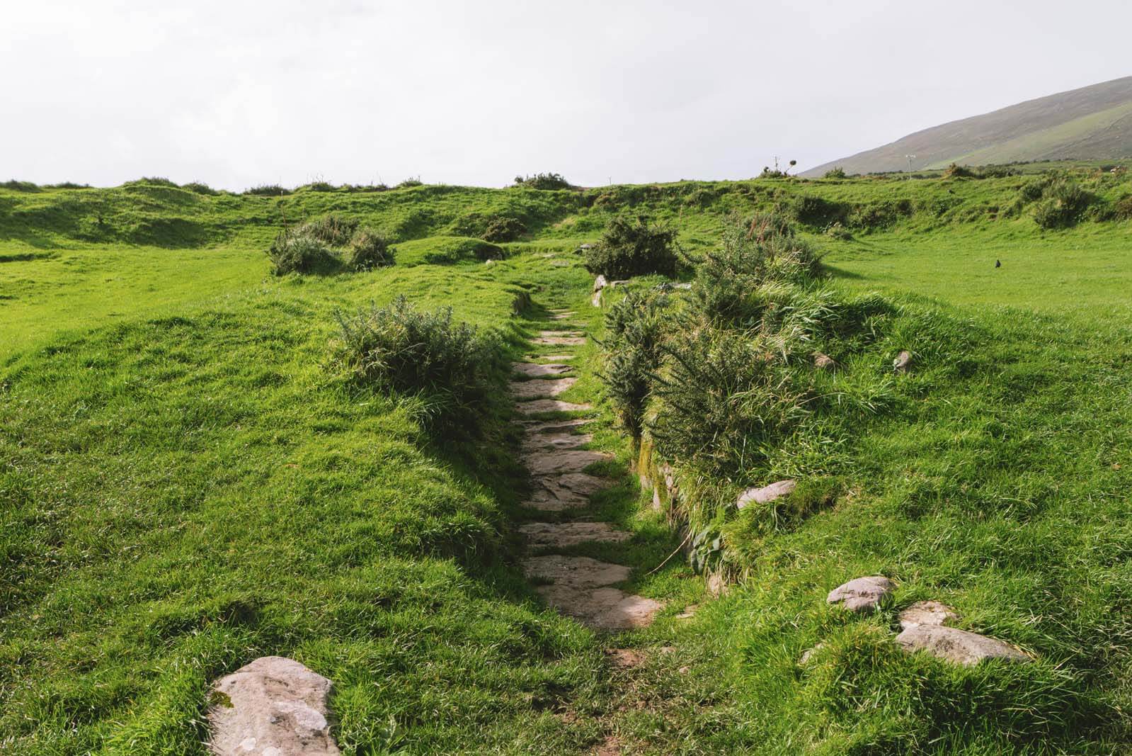 Fairy fort / earthen ringfort in BoherkillFairy fort / earthen ringfort · 83 yd
Explorer Tom Fairy fort / earthen ringfort in Boherkill is hiding a scandal about how it let the field boundaries get ploughed…
 Fairy fort / earthen ringfort in Kilmoney NorthFairy fort / earthen ringfort · 1138 yd
Explorer Tom Fairy fort / earthen ringfort in Kilmoney North thinks it has an imaginary twin across the sea that’s doing better.…
 CairnCairn, unclassified · 1320 yd
Explorer Tom Cairn in Kilmoney North has an imaginary fan club that meets every Tuesday to sing songs about how flat it is now. They…
 Holy well in Rathangan DemesneHoly well · 1.1 mi
Explorer Tom Holy well in Rathangan Demesne would write 'Seeking a field partner' on its dating profile. The exact location is…
 CastleCastle, unclassified · 1.3 mi
Explorer Tom Castle in Drinnanstown North is complaining to the council that its steep slope ruins its posture. It’s been sulking…
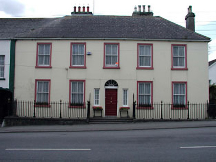 The Parochial HousePresbytery/parochial/curate's house · 1.9 mi
Explorer Tom The Parochial House in Rathangan is all sweet Classical proportions, acting like a saint who never actually did any…
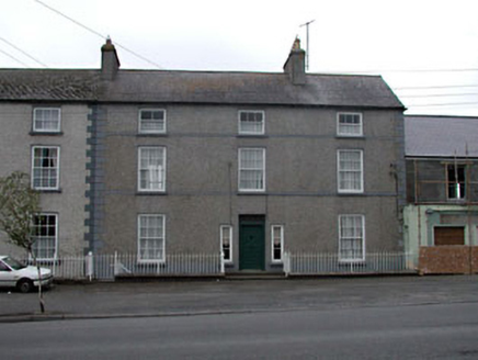 Clonlara HouseHouse · 1.9 mi
Explorer Tom Clonlara House would say 'I have excellent references' in a job interview, listing every lord who lived there. It’s a…
 Rathangan Garda Síochána StationHouse · 1.9 mi
Explorer Tom Rathangan Garda Station is ready to star in its own reality show about tiered windows. The openings get smaller as you…
 Rathangan ChurchChurch/chapel · 1.9 mi
Explorer Tom Rathangan Church is standing on the grave of a much older, shadier version of itself. If you asked it what it wants…
 Church in Rathangan (rathangan Ed)Church · 1.9 mi
Explorer Tom Church in Rathangan is fighting the rain because it has no roof and a grudge. It’s been mentioned since 1297, so it’s…
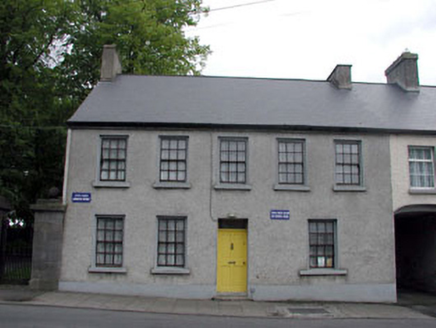 Old School HouseSchool · 1.9 mi
Explorer Tom Old School House in Rathangan hears the teachers arguing about history through the walls, even though there's no school…
 Mapped cemeteryCemetery · 2.0 mi
Explorer Tom The builder of this mapped cemetery in Kildare was probably thinking about lunch while laying out these specific…
More archaeology and monuments in County Kildare · All of County Kildare

What do you know about this place?Tap to add a comment or ask a question