What is recorded here
Located at the bottom of the steep N-facing slope of Bellewstown Hill. An area of about 4 ha (c. 10 acres) with earthwork banks is visible on Google Earth (05/10/2009; 28/01/2017; 15/02/2019). The fields appear to be irregular in shape (dims c. 70m x c. 60m) and may be illusory, but a linear feature extends ESE from the enclosure (ME027-129----) (L c. 700m) and its E end would connect with the W end of a WSW-ENE farm-lane that is depicted on the 1838 and 1908 editions of the OS 6-inch map.
Compiled by: Michael Moore
Date of upload: 11 October 2021
The monument record does not grant public access. Check the route and ask the landowner before entering private land.
- What survives
- Recorded monument
Places near here
 Enclosure in Bellewstown (duleek Upper By.)Enclosure · 104 yd
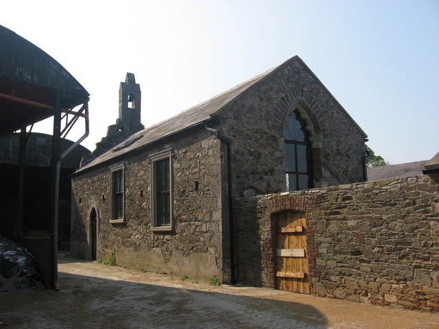 IndicatedChurch · 1294 yd
 Enclosure in Hilltown LittleEnclosure · 1295 yd
 CastleCastle, unclassified · 1349 yd
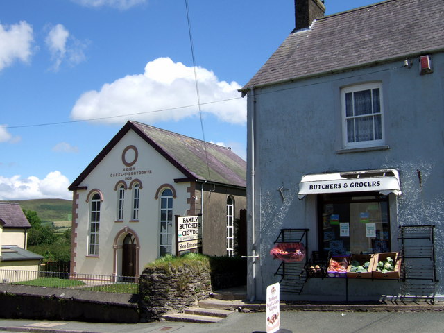 Chapel in Knockisland (duleek Lower By.)Chapel · 1550 yd
 Common LimeCommon Lime · 1.7 mi
 Platin HouseCastle, unclassified · 2.9 mi
 Newgrange Business ParkMemorial · 4.0 mi
 Brú na Bóinne Visitor Centre AccessHeritage attraction · 4.3 mi
 Tullog WoodForest · 4.3 mi
 Brú na Bóinne Visitors CentreVisitor information · 4.4 mi
 Battle of Julianstownbattle · 4.4 mi