What is recorded here
Situated towards the bottom of a N-facing slope with the W-E River Nanny c. 430m to the N. In a cartulary dated 1381 of St. Michael’s, which was the Augustinian priory of Llanthony at Duleek (ME027-038011-), it is recorded that John Bellewyston had a chapel that had been built by his ancestors (Brooks 1953, 144). Sir Walter Bedlowe of Bedlowestown leased land for 60 shillings from the priory in 1540 (White 1943, 314). According to the Civil Survey (1654-6) Sir Christopher Bellew, an Irish papist, had 1184 acres at Bellewstowne where there was a castle, outhouses and a tuck mill (Simington 1940, 18). Within Duleek parish alone he also owned 60 acres at Redmountain, 35 acres at Hilltown Little, 80 acres at Fascagh (part of Hilltown Little), 80 at Ballipatch (now Thomastown), and 40 at Rahill (ibid. 15-23). The church was an estate church and is not recorded in the visitations of Ussher (1622) (Erlington 1847-64, 1, lxi-lxviii) or Dopping (1682-5) (Ellision 1971, 33-7) amongst the churches of Duleek deanery.
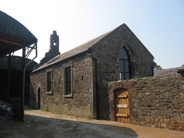
The church is an undivided nave and chancel structure (ext. dims 14.35m E-W; 6m N-S), probably of late 13th century or early 14th century date (O'Neill 2002, 17). Tracery has been removed from the E and W windows. There were doorways in old red sandstone towards the W end of the N and S walls, but only that on the S remains. There is a single belcote over the W gable, and rectangular windows have been inserted into the N and S walls.
The above description is derived from the published 'Archaeological Inventory of County Meath' (Dublin: Stationery Office, 1987). In certain instances the entries have been revised and updated in the light of recent research.
Compiled by: Michael Moore
Date of revision: 22 December, 2014
This remains an important historical record, but the official description says the monument is no longer visible or has been destroyed. The monument record does not grant public access. Check the route and ask the landowner before entering private land.
- What survives
- No visible remains or recorded as destroyed
Places near here
 CastleCastle, unclassified · 70 yd
 Religious houseReligious house, Augustinian canons · 302 yd
 Enclosure in Bellewstown (duleek Upper By.)Enclosure · 685 yd
 Enclosure in Blackditch (duleek Upper By.)Enclosure · 1109 yd
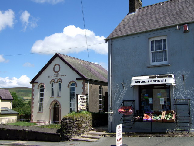 Chapel in Knockisland (duleek Lower By.)Chapel · 1303 yd
 Common LimeCommon Lime · 1.5 mi
 Platin HouseCastle, unclassified · 2.2 mi
 Newgrange Business ParkMemorial · 3.3 mi
 Glenmore ForestWood · 3.7 mi
 Brú na Bóinne Visitor Centre AccessHeritage attraction · 3.8 mi
 Brú na Bóinne Visitors CentreVisitor information · 3.8 mi
 Boyne Currach CentreHeritage attraction · 4.0 mi
Other information
Photo: Kieran Campbell · CC BY-SA 2.0