What is recorded here
Situated on a gentle E-facing slope. A series of rectangular features covering an area of c. 6.5 hectares visible as low earthworks on an Ordnance Survey aerial photograph; possibly representing a field system. (Swan 1996, fig. 6)
The above description is derived from the published 'Archaeological Inventory of County Wicklow' (Dublin: Stationery Office, 1997). In certain instances the entries have been revised and updated in the light of recent research.
Date of upload/revision: 17 December 2008
The monument record does not grant public access. Check the route and ask the landowner before entering private land.
- What survives
- Recorded monument
Places near here
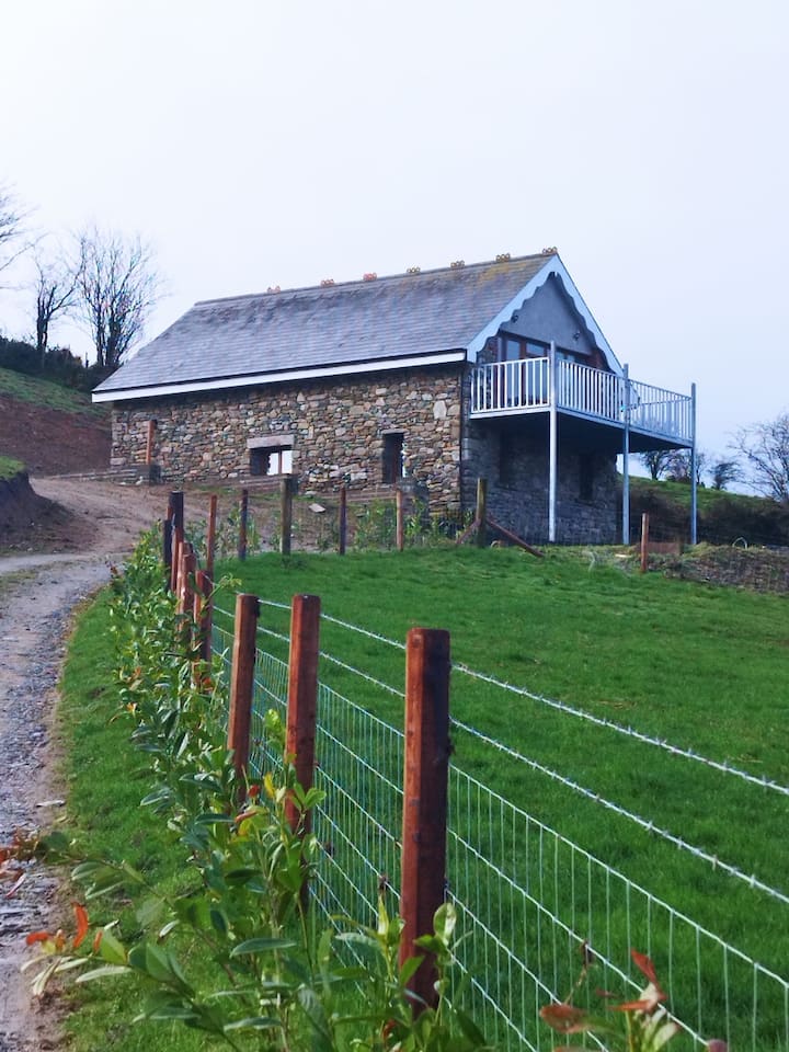 Enclosure in BallyblaEnclosure · 338 yd
 Church (in Ruins)Church · 583 yd
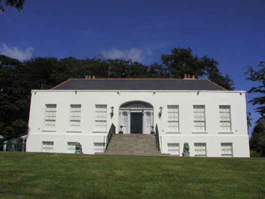 Killoughter Housecountry house · 718 yd
 Enclosure in Grange SouthEnclosure · 1262 yd
 CastleCastle, ringwork · 1.1 mi
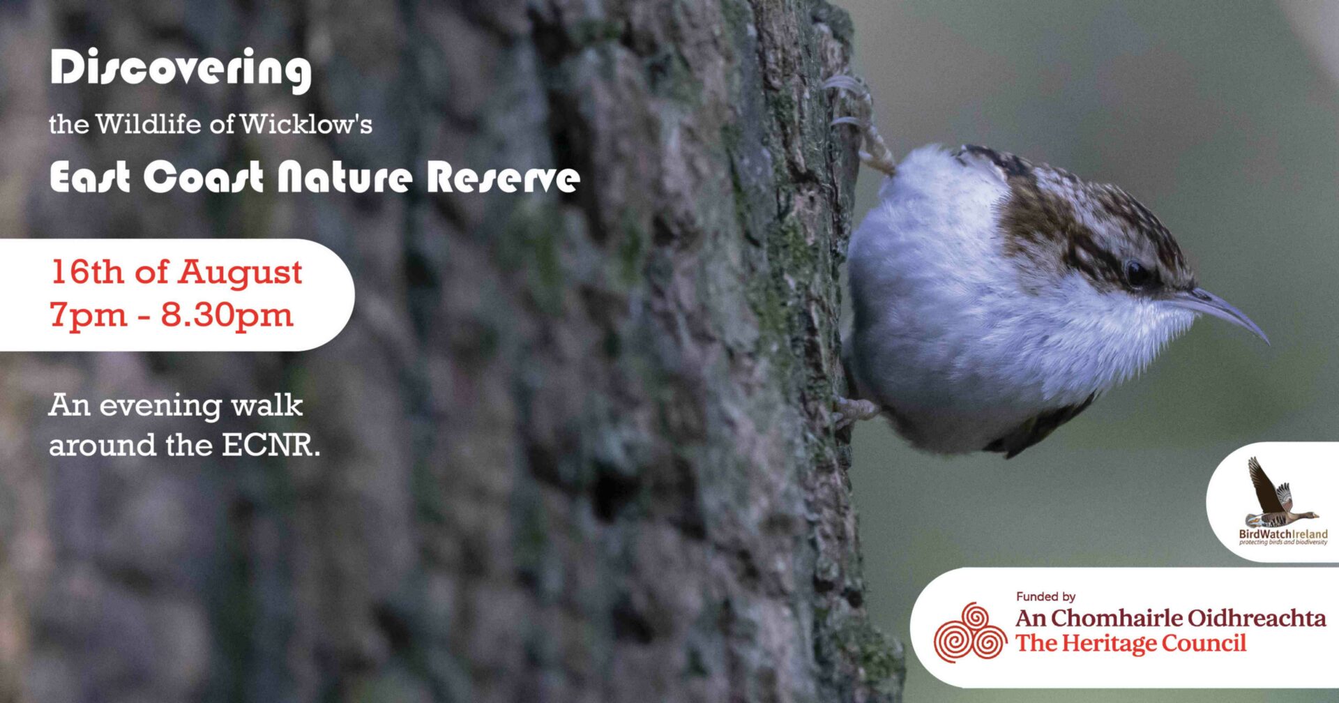 East Coast Nature ReserveNature reserve · 2.3 mi
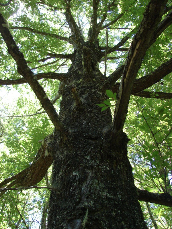 Rauli beechRauli beech · 2.4 mi
 Castle (in Ruins)Castle, ringwork · 2.6 mi
 Leamore StrandBeach / strand · 3.5 mi
 Devil's Glen WaterfallWaterfall · 4.1 mi
 Glen Beach Cliff WalkWalking route · 5.1 mi
 Carrick MountainMountain / peak · 5.4 mi