
What is recorded here
In reclaimed pasture, in the townlands of Tankardstown, Goat Island and Ballyvulhane, associated with enclosures (LI040-050002/003-). Not marked on OSi historic maps. Possible site (Site No. 040116) identified during examination of aerial photographs (BGE 2553) taken 03/11/1984 on the Bórd Gáis Éireann Curraleigh Wes-Limerick gas pipeline (Strip Map 5, Site 5/11). Visible on the Bruff aerial photographic survey in 1986 (Bruff 82; AP 5/2108) as linear cropmarks perpendicular to each other. Field system visible on OSi orthophoto taken between 2005-12 and on google Earth orthoimages.
See attached aerial photograph from Bórd Gáis Éireann Curraleigh West-Limerick gas pipeline (BGE Site 5/11) and Google Earth orthoimages.
Compiled by: Fiona Rooney
Date of upload: 5 May 2021
The monument record does not grant public access. Check the route and ask the landowner before entering private land.
- What survives
- Recorded monument
Places near here
 Dunmorrisheen, hachuredFairy fort / earthen ringfort · 125 yd
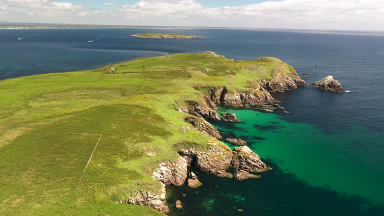 Fulacht fia in Goat IslandFulacht fia · 522 yd
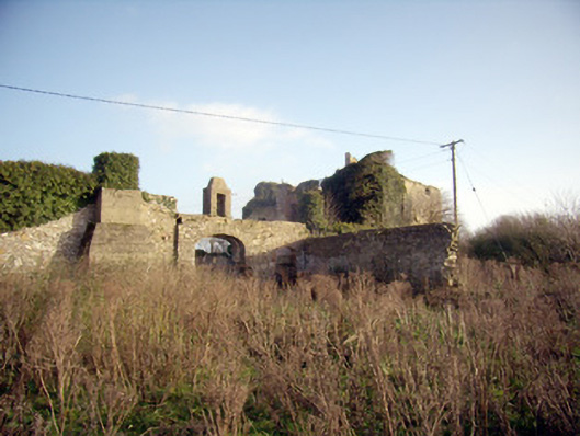
 Ballygrennan Castle (in ruins)Castle, tower house · 1220 yd
 Greenpark Housecountry house · 1583 yd
 RoadRoad, road/trackway · 1616 yd
 Castle (in ruins)Castle, unclassified · 1.4 mi
 KnockainyMountain / peak · 2.9 mi
 Flat cemetery in Knockainy WestFlat cemetery · 3.4 mi
 St Patrick's WellSpring · 5.7 mi
 Edmund's WellSpring · 6.0 mi
 Ballinvreena LoopVisitor information · 6.1 mi
 SlievereaghMountain / peak · 7.6 mi
Other information
Photo: Credit not shown in the picture search · Rights wording not checked; contact us if this picture should be removed