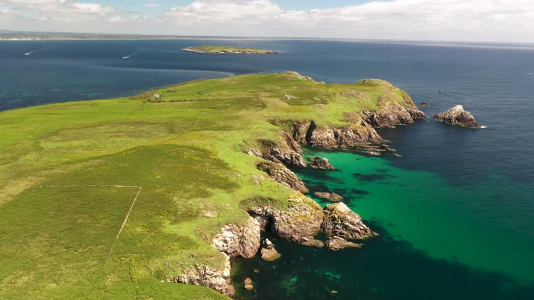
What is recorded here
In pasture, 90m S of townland boundary with Ballybrennan. Not depicted on historic OSi maps. Fulacht fiadh (Site No. 040173) excavated in 1986 during work associated with Bórd Gáis Éireann Curraghleigh West-Limerick gas pipeline (Gowen 1988, 179). Monument listed as Site 1/0/1 by Gowen and described as 'a very low, ill-defined mound'. No surface remains visible of monument that has been fully excavated.
Compiled by: Fiona Rooney
Date of upload: 27 May 2021
The monument record does not grant public access. Check the route and ask the landowner before entering private land.
- What survives
- Recorded monument
Places near here
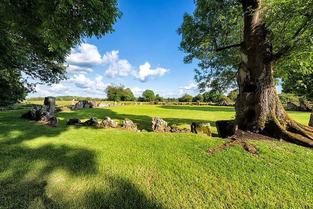 Cultivation ridges in Ballygrennan (coshma By., Bruff Ed)Cultivation ridges · 199 yd
 OutlinedEnclosure · 339 yd
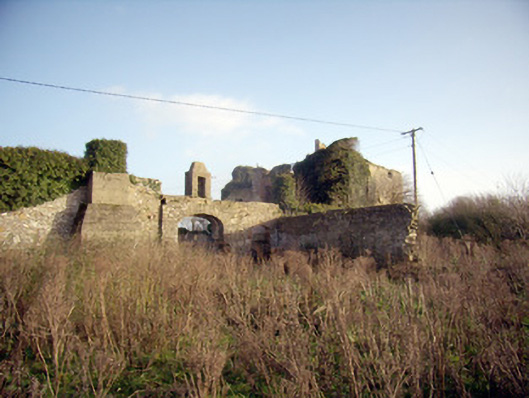 Greenpark Housecountry house · 1062 yd
 Ballygrennan Castle (in ruins)Castle, tower house · 1333 yd
 post boxpost box · 1513 yd
 Castle (in ruins)Castle, unclassified · 1.4 mi
 KnockainyMountain / peak · 3.2 mi
 Flat cemetery in Knockainy WestFlat cemetery · 3.7 mi
 St Patrick's WellSpring · 5.9 mi
 Edmund's WellSpring · 6.2 mi
 Ballinvreena LoopVisitor information · 6.2 mi
 SlievereaghMountain / peak · 7.8 mi
Other information
Photo: Credit not shown in the picture search · Rights wording not checked; contact us if this picture should be removed