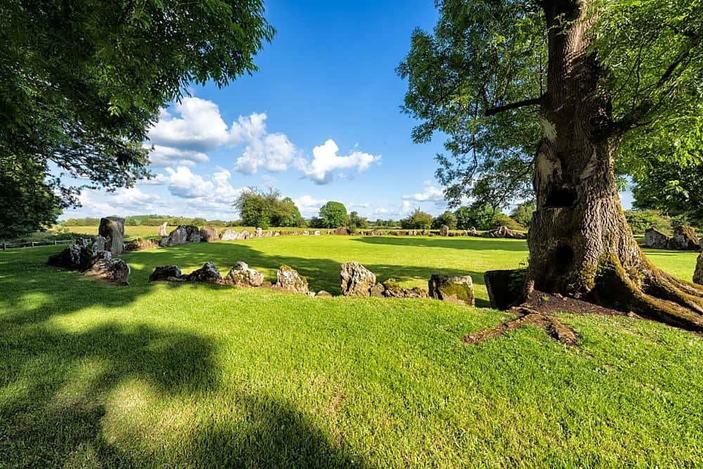
What is recorded here
In pasture, immediately N of road that marks townland boundary with Goat Island and 90m NE of townland boundary with Uregare. Site of Uregare Church (LI040-043----) 300m to SW. Field system (LI040-006001-) with three corn-drying kilns (LI040-006003-/005-), metal working site (LI040-006007) and miscellaneous features (LI040-006006-). Not marked on OSi historic maps. Field system (Site No. 040262) consisting of a series of small adjoining square shaped fields identified during examination of Bórd Gáis Éireann aerial photographs (BGE 2553) taken 03/11/1984 on the Bórd Gáis Éireann gas pipeline. Area inside field system partially excavated during monitoring of topsoil-stripping by Emmet Byrnes (Licence 02E0368) the results of which were summarised as follows; ‘The site was recorded in the SMR as an earthwork (40:6), and during the monitoring of topsoil-stripping a series of features, charcoal-rich material and in situ burning were noted, extending over an area of c. 100 by 30m. The excavation, which took place between 6 April and 17 September 2002, revealed a variety of features associated with medieval rural settlement. Five spatially differentiated phases of activity were identified across the site. The earliest phase was represented by a series of intercutting gullies and ditches, which in one area formed a subrectangular enclosure consistent with a small field system’ (Byrnes 2004, 301). Cultivation ridges are part of the field system and is listed in the HEV as LI040-006001-.
Compiled by: Fiona Rooney
Date of upload: 20 May 2021
The monument record does not grant public access. Check the route and ask the landowner before entering private land.
- What survives
- Recorded monument
Places near here
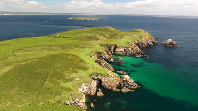 Fulacht fia in Goat IslandFulacht fia · 199 yd
 Site of Uregare ChurchChurch · 413 yd
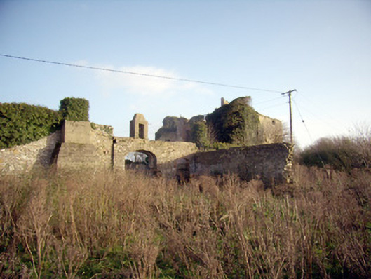 Greenpark Housecountry house · 1032 yd
 Ballygrennan Castle (in ruins)Castle, tower house · 1187 yd
 post boxpost box · 1469 yd
 Castle (in ruins)Castle, unclassified · 1.3 mi
 KnockainyMountain / peak · 3.2 mi
 Flat cemetery in Knockainy WestFlat cemetery · 3.8 mi
 St Patrick's WellSpring · 6.0 mi
 Edmund's WellSpring · 6.3 mi
 Ballinvreena LoopVisitor information · 6.3 mi
 SlievereaghMountain / peak · 7.9 mi
Other information
Photo: Credit not shown in the picture search · Rights wording not checked; contact us if this picture should be removed