
What is recorded here
In pasture, 18m S of townland boundary with Ballyvulane, 20m W of townland boundary with Tankardstown. Field system (LI040-050001-) immediately to N. Annotated ‘Dunmorrisheen’ on 1840 ed. OSi 6-inch map where it is shown as a circular area enclosed by a bank. Shown on the 1897 ed. OSi 25-inch map as a raised circular platform defined by a scarp. Monument described by Westropp (1916-17, 492) as consisting of; ‘a gently sloped mound 7 feet [2.1m] to 9 feet [2.7m] high, 45 feet [13.7m] across the top and 86 feet [26.2m] overall, surrounded by a slight fosse-like hollow 15 feet [4.5m] wide.’ Outline of poorly preserved monument visible on OSi orthophoto taken between 2005-12. Outer fosse visible on Google Earth orthoimage date 25/03/2017.
See attached Google Earth orthoimages.
Compiled by: Fiona Rooney
Date of upload: 5 May 2021
The monument record does not grant public access. Check the route and ask the landowner before entering private land.
- What survives
- Recorded monument
Places near here
 Field system in Ballyvulhane,goat Island,tankardstownField system · 125 yd
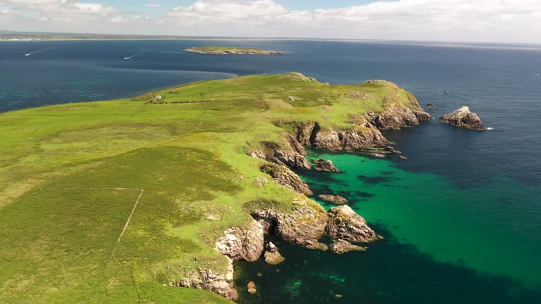 Fulacht fia in Goat IslandFulacht fia · 403 yd
 Ballygrennan Castle (in ruins)Castle, tower house · 1260 yd
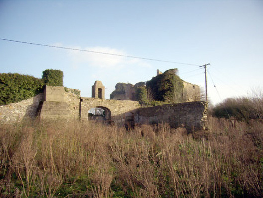 Greenpark Housecountry house · 1462 yd
 RoadRoad, road/trackway · 1703 yd
 Castle (in ruins)Castle, unclassified · 1.4 mi
 KnockainyMountain / peak · 2.9 mi
 Flat cemetery in Knockainy WestFlat cemetery · 3.5 mi
 St Patrick's WellSpring · 5.7 mi
 Edmund's WellSpring · 6.0 mi
 Ballinvreena LoopVisitor information · 6.1 mi
 SlievereaghMountain / peak · 7.7 mi
Other information
Photo: Credit not shown in the picture search · Rights wording not checked; contact us if this picture should be removed