What is recorded here
Ballyveelick holds a rectilinear field system surrounding a ringfort, visible today only through cropmarks in working tillage. The 1842 survey captured part of the western boundary before soil and forgetting buried the rest. The land still remembers the shape, drawing shadow lines through green fields whenever rain or dry heat touches it.
In tillage, cropmark of rectilinear field system surrounding ringfort (CO026-037----) visible on Apple Maps imagery. Partially depicted on Historic six inch OS map (1st edition 1842) to W of ringfort.
Compiled by: Matt Kelleher based on details provided by Jean-Charles Caillère
See attached image
Date of upload/revision: 30 March 2022
The monument record does not grant public access. Check the route and ask the landowner before entering private land.
- What survives
- Recorded monument
Places near here
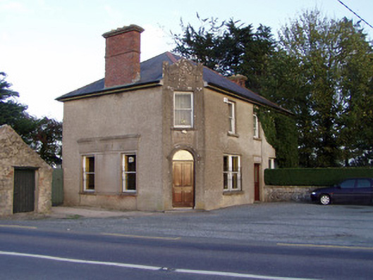 Griffin'shouse · 1004 yd
 Fulacht fia in SkenakillaFulacht fia · 1076 yd
 Johnsgrove Househouse · 1411 yd
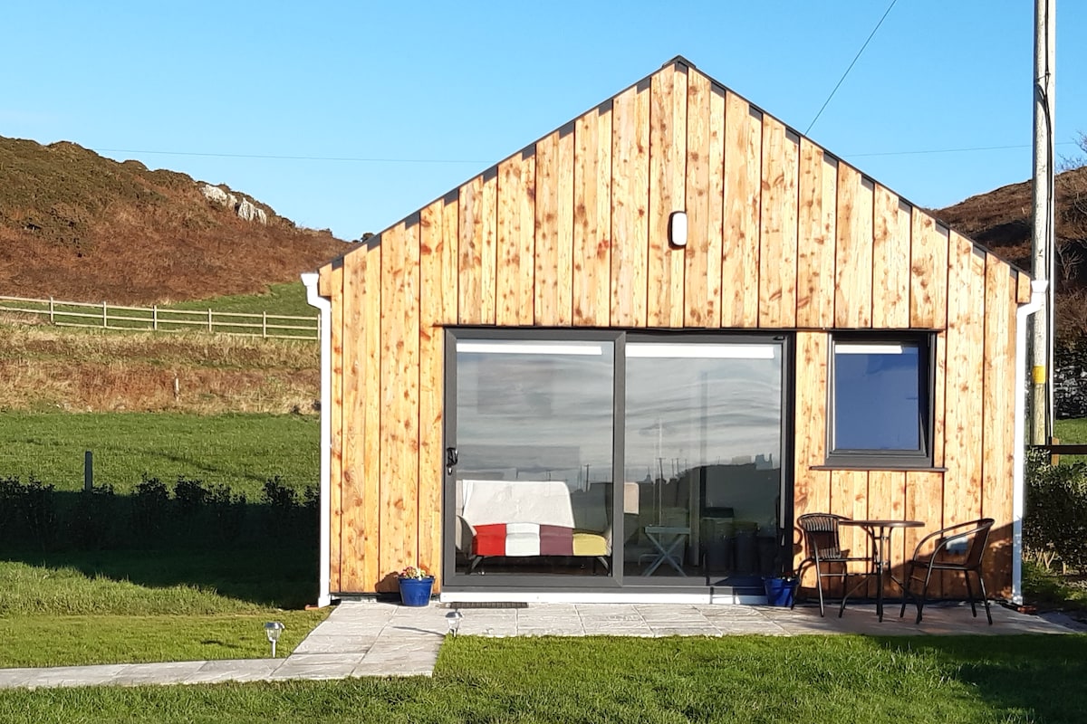 Enclosure in BallyhimockEnclosure · 1602 yd
 Anne's Grove GardensHeritage attraction · 2.3 mi
 Shanballymore Castle (Site of)Castle, unclassified · 2.5 mi
 Pedunculate OakPedunculate Oak · 2.9 mi
 Scots PineScots Pine · 3.0 mi
 Ruane Castle (Site of)Castle, unclassified · 3.2 mi
 Smith's WellSpring · 4.1 mi
 Blackwater (Avondhu) WayWalking route · 5.1 mi
 Lover's LeapCliff · 5.6 mi