What is recorded here
In gently undulating poor pasture with a rath (TS 065-002001-) on the W side. Visible on aerial photograph (Air Corps V.263/84-83, 02-09-1959; OS 2403) as a series of curving small fields with no definite trace visible at ground level.
Compiled by: Jean Farrelly
Date of upload: 06 May 2014
The monument record does not grant public access. Check the route and ask the landowner before entering private land.
- What survives
- Recorded monument
Places near here
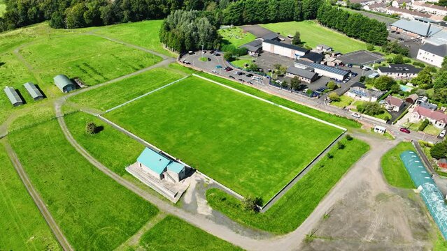 Field system in BallyhoneField system · 337 yd
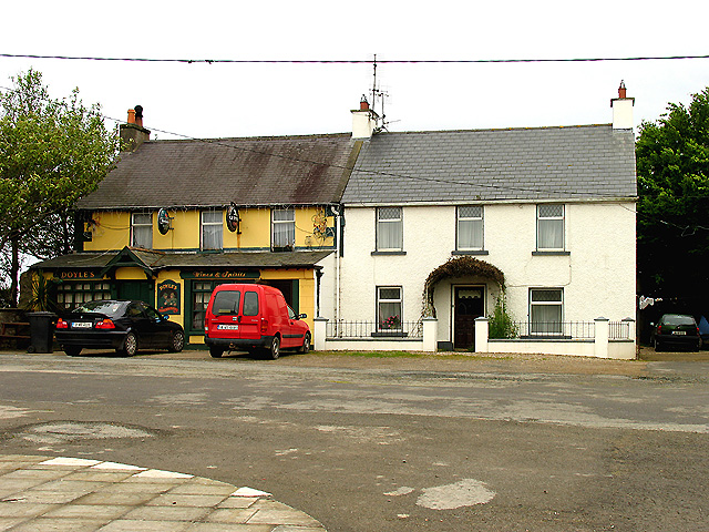 BarrowBarrow, ditch barrow · 623 yd
 CastleCastle, motte · 1254 yd
 Glebe Ho.Castle, unclassified · 1.3 mi
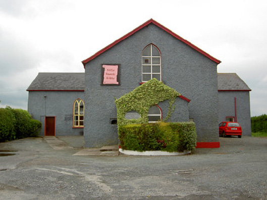 Halla Naomh Ailbhechurch/chapel · 1.5 mi
 Ahnageeragh Bridgebridge · 1.5 mi
 Flat cemetery in Knockainy WestFlat cemetery · 3.0 mi
 Kilteely HillMountain / peak · 3.2 mi
 St Patrick's WellSpring · 3.2 mi
 St. Patrick's WellSpring · 3.6 mi
 Ballinvreena LoopVisitor information · 6.2 mi
 SlievereaghMountain / peak · 6.7 mi