What is recorded here
In pasture, a relic field system on the S and W slopes of a rocky hill known as Knockanure. Enclosure (LI031-178002-) lies within the field system which forms a continuation of field systems to the N (LI022-144----) and W (LI022-247----). Not depicted on OSi historic maps. Identified as a large area covering up to 20 ha and comprising intersecting linear field boundaries on the Bruff Survey aerial photographs (Bruff 112: AP4/3644) taken 1986. Monument surveyed in 2000 by the ASI and described as irregular undulations across the area, which do not form any coherent pattern visible at ground level. Field system is faintly visible on OSi orthoimages taken 2005-12, Digital Globe orthoimage taken 2011-2013 and on Google Earth orthoimages taken 05/04/2006; 25/03/2017 and 20/09/2020.
See attached Google Earth orthoimages and Bruff aerial survey image
Compiled by: Edmond O’Donovan
Date of upload: 28 October 2020
The monument record does not grant public access. Check the route and ask the landowner before entering private land.
- What survives
- Recorded monument
Places near here
 Enclosure in Ballycullane (smallcounty By.)Enclosure · 198 yd
 CairnCairn, unclassified · 410 yd
 RoadRoad, road/trackway · 1365 yd
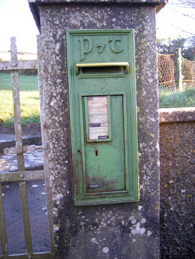 post boxpost box · 1518 yd
 Bawn in Grange (smallcounty By.)Bawn · 1.2 mi
 Lough GurVisitor information · 1.4 mi
 Grange Stone CircleArchaeological place · 1.5 mi
 Bawn in SkoolhillBawn · 1.5 mi
 Banoge's WellSpring · 1.6 mi
 Skool HillMountain / peak · 1.8 mi
 The SpectaclesVisitor information · 1.9 mi
 Lough Gur Heritage CentreVisitor information · 2.0 mi