What is recorded here
Aerial photograph (GB89.AI.11) shows the cropmark of four linear fosses defining a co-axial field system (incorporating a possible trackway(KD035-050002-)) surrounding an enclosure (KD035-050----).
Compiled by: Gillian Barrett
Date of upload: 12 December 2011
The monument record does not grant public access. Check the route and ask the landowner before entering private land.
- What survives
- Recorded monument
Places near here
 Enclosure in BallycullaneEnclosure · 115 yd
 Ecclesiastical enclosure in BallycullaneEcclesiastical enclosure · 998 yd
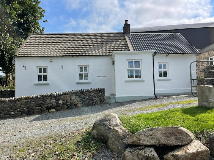 Ballycullane WoodForest · 1174 yd
 Whitechurch (in Ruins)Church · 1242 yd
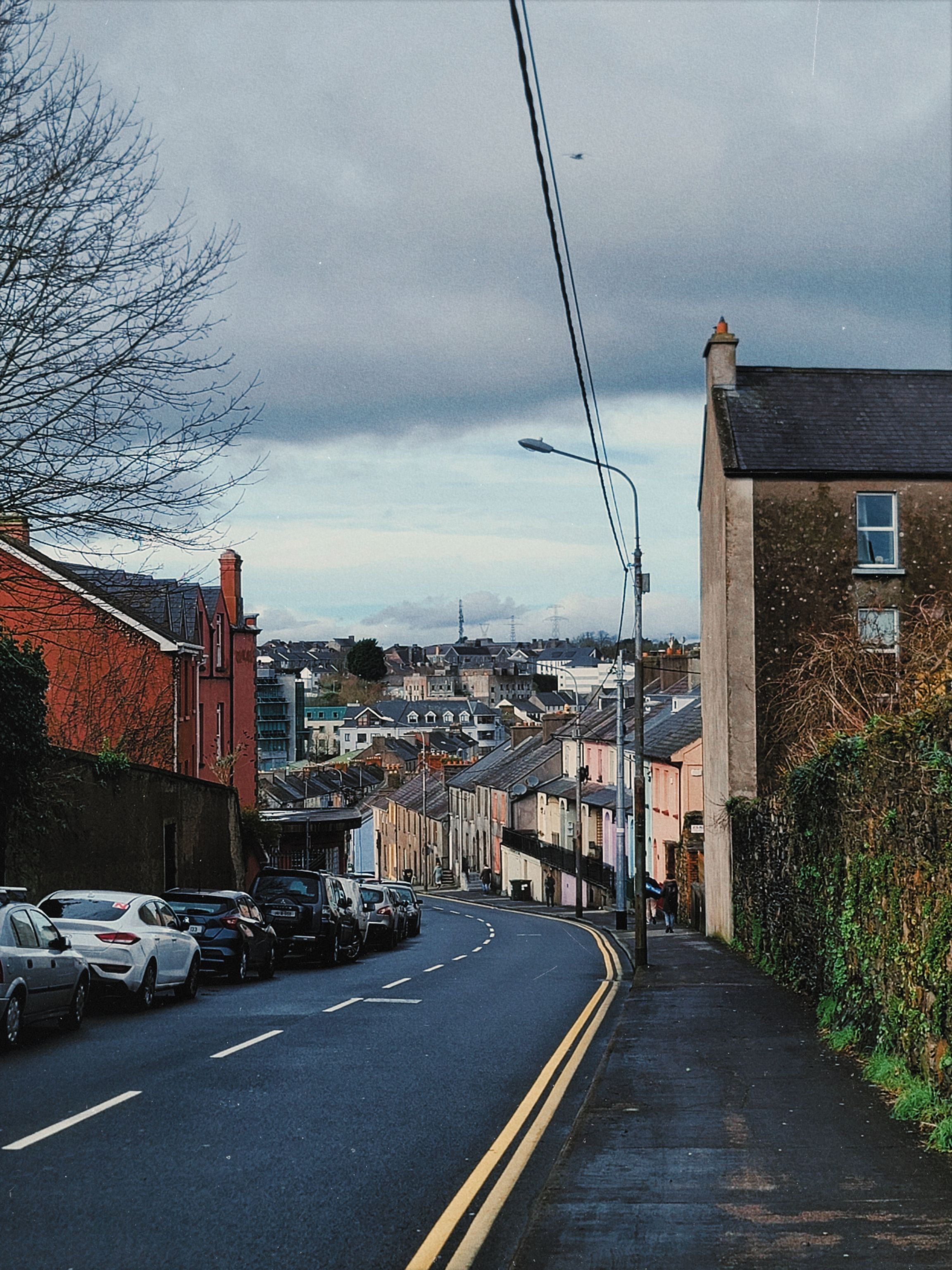 Irishtown WoodWood · 1484 yd
 Inch CastleCastle, tower house · 1.1 mi
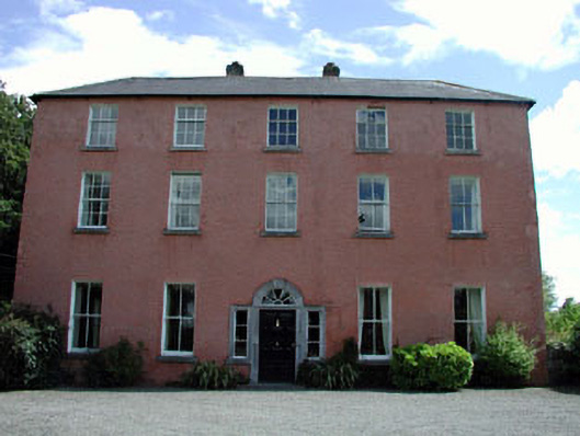 Dollardstown Housefarm house · 1.3 mi
 Burtown House and GardensHeritage attraction · 1.8 mi
 MoatCastle, motte · 2.7 mi
 Gorden Bennet Race memorialMemorial · 2.9 mi
 History of Moat of ArdscullVisitor information · 2.9 mi
 Lorcán Ó TuathailMemorial · 3.6 mi