What is recorded here
No human will ever know the last name spoken over those banks, but the fields still belong to someone because they refuse to blur into ordinary pasture. Henry Burnell claimed three hundred and twenty acres there in 1640, yet the smallest plots cluster beside the old motte like rooms arranged around a heart. The roadway still leaves the church and turns northeast, carrying forgotten traffic toward a door nobody remembers building.
Located on a slight S-facing slope and immediately in the area to the N and E of the motte (ME041-014----) and the site of the medieval parish church (ME041-015----). Henry Burnell owned 320 acres at Calsterickard and Ballinahane in 1640 and on the premises were one castle, one mill and a weir (Simington 1940, 191). An area of about 17 ha (c. 43 acres) in pasture contains the remnants of a field system consisting of rectangular fields (dims c. 70m x c. 30m to c. 100m x c. 50m). The fields are defined by low earthen banks or silted ditches (Wth c. 5m; max. D 0.5m), and there are some larger rectangular or square fields (dims c. 200m x c. 200m). The smallest plots (dims c. 40m x c. 20m) are closest to the motte. Within the fields a roadway (Wth c. 5-15m; L c. 180m) defined by earthen banks extends NNE from the vicinity of the church and then turns NE (L c. 180m). Cultivation ridges occupy some of the fields. It is visible on aerial photographs (GSIAP: N 304, 302) and is also visible on Google Earth (18/04/2009; 17/07/2016; 24/03/2017).
The above description is derived from the published 'Archaeological Inventory of County Meath' (Dublin: Stationery Office, 1987). In certain instances the entries have been revised and updated in the light of recent research.
Compiled by: Michael Moore
Date of revision: 9 August 201
The monument record does not grant public access. Check the route and ask the landowner before entering private land.
- What survives
- Recorded monument
Places near here
 CastleCastle, motte · 214 yd
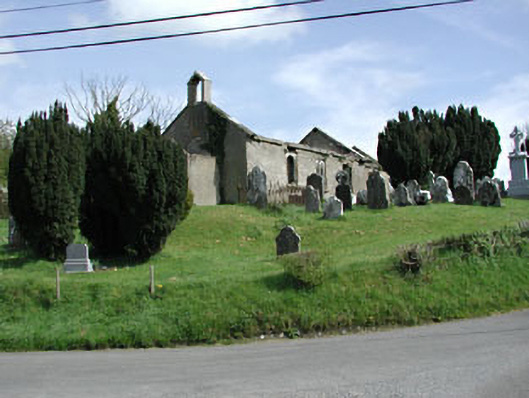 Saint Nicholas's Church (Castlerickard)church/chapel · 239 yd
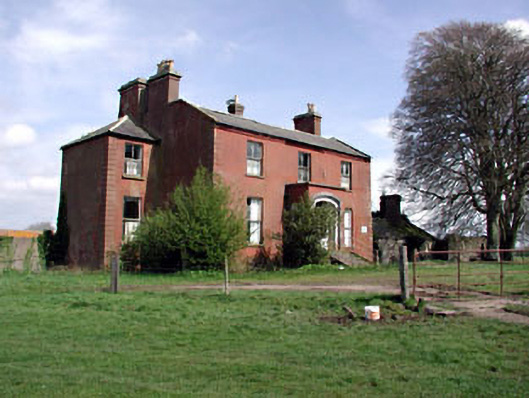 Castlerickard Housecountry house · 561 yd
 EnclosureEnclosure, large enclosure · 768 yd
 Common LimeCommon Lime · 944 yd
 European BeechEuropean Beech · 1113 yd
 Donore CastleCastle · 1.1 mi
 Concentric enclosure in DalystownConcentric enclosure · 1.2 mi
 Croppies' GraveMemorial · 4.7 mi
 Cloncurry GraveyardHeritage attraction · 7.0 mi
 Old Bog Road made famous by Teresa Bryton 1868-1943Memorial · 7.8 mi
 Kilgar GardensHeritage attraction · 9.5 mi