What is recorded here
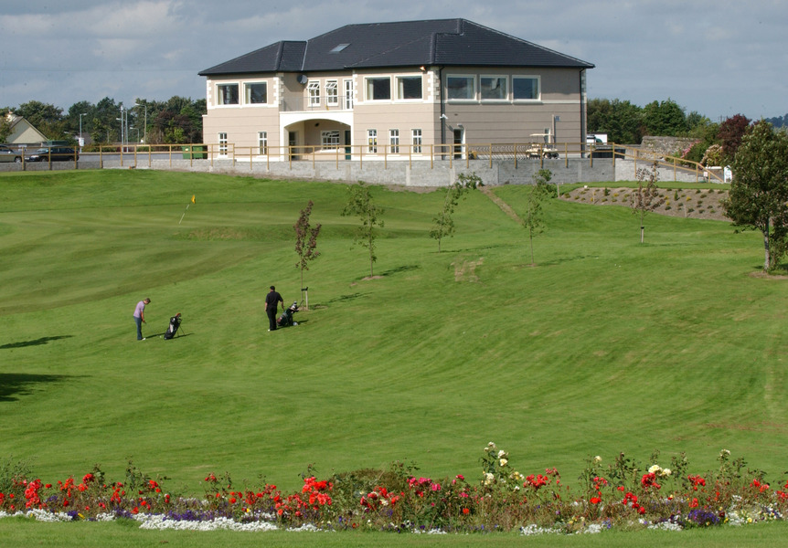
To NW and N of a castle (GA058-010001-). A series of low grassed-over earthen banks, visible intermittently, cover an area c. 180m NE-SW by c. 60m NW-SE. The line of one earthen bank, aligned NW-SE, can be traced through several fields and a series of field banks aligned NE-SW run off it. A rectangular area (N-S 40m, E-W 15m) defined by a bank is also visible immediately to N of the castle.
The above description is derived from the published 'Archaeological Inventory of County Galway Vol. II - North Galway'. Compiled by Olive Alcock, Kathy de hÓra and Paul Gosling (Dublin: Stationery Office, 1999).
Date of upload: 05 August 2010
The monument record does not grant public access. Check the route and ask the landowner before entering private land.
- What survives
- Recorded monument
Places near here
 CastleCastle, unclassified · 19 yd
 R.C. Chapel (in ruins)Chapel · 1676 yd
 BallynaparkArchaeological place · 1719 yd
 IndicatedEnclosure · 1.0 mi
 monumentmonument · 1.0 mi
 Knockmoy AbbeyHeritage attraction · 1.2 mi
 Ballinderry CastleCastle, tower house · 2.9 mi
 Common WhitebeamCommon Whitebeam · 3.3 mi
 SycamoreSycamore · 3.4 mi
 Mass RockNamed rock · 8.7 mi
 LaghtaLeacht cuimhne · 1.0 mi
 Field system in Abbey (tiaquin By.)Field system · 1.2 mi
Other information
Photo: Credit not shown in the picture search · Rights wording not checked; contact us if this picture should be removed