What is recorded here
Fairy fort in Feagh West is an oval ringfort on a grassland rise, measuring 37 metres north-south and 30.5 metres east-west. Its degraded bank and outer ditch remain clearest from south through west to north, while a later field bank cuts across the east and south edges. People may have lived inside, excluded others, or marked the land for seasons and story. The shape still holds that boundary, even when human memory has thinned.
On a rise in grassland. Oval rath (N-S 37m, E-W 30.5m), in fair condition, defined by a degraded bank and external fosse best preserved from S through W to N. A field bank cuts the monument at E and S.
The above description is derived from the published 'Archaeological Inventory of County Galway Vol. II - North Galway'. Compiled by Olive Alcock, Kathy de hÓra and Paul Gosling (Dublin: Stationery Office, 1999).
Date of upload: 05 August 2010
The monument record does not grant public access. Check the route and ask the landowner before entering private land.
- What survives
- Recorded monument
Places near here
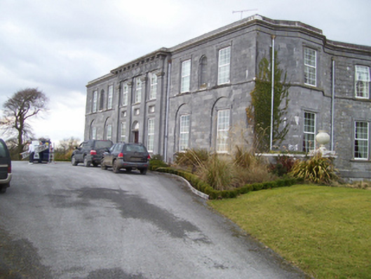 Moyne Housecountry house · 1.0 mi
 Field system in Abbey (tiaquin By.)Field system · 1.1 mi
 R.C. Chapel (in ruins)Chapel · 1.1 mi
 Knockmoy AbbeyHeritage attraction · 1.1 mi
 CastleCastle, unclassified · 1.2 mi
 Field system in BallinaField system · 1.2 mi
 Barnaderg CastleCastle · 2.0 mi
 Common WhitebeamCommon Whitebeam · 4.2 mi
 SycamoreSycamore · 4.2 mi
 Menlough IRAMemorial · 7.5 mi
 Mass RockNamed rock · 9.2 mi
 Saint Mary's Catholic Churchbell tower/stand · 1.2 mi