What is recorded here
A curvilinear field system identified on an aerial photograph (GSI 1973 -77) in a field immediately SE of an enclosure (KK001-001001-). The field has been reclaimed and the earthworks have been levelled.
Compiled by: Jean Farrelly
Date of upload: 4 August 2015
The monument record does not grant public access. Check the route and ask the landowner before entering private land.
- What survives
- Recorded monument
Places near here
 Enclosure in Aughatubbrid OR ChatsworthEnclosure · 58 yd
 IndicatedHoly well · 1.1 mi
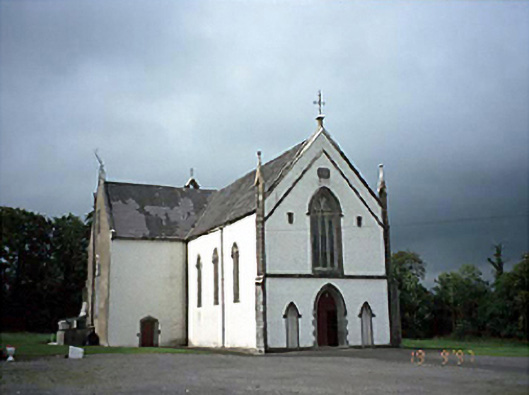 Saint Laserian's Catholic Churchchurch/chapel · 1.7 mi
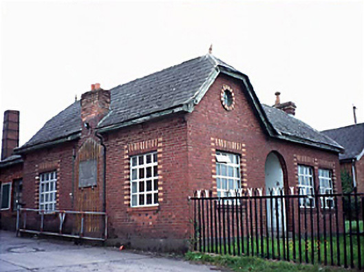 Fleming's Fireclaysworker's house · 1.9 mi
 Moat Castle in ruinsCastle, unclassified · 2.9 mi
 AskuarWood · 3.0 mi
 BlackthornBlackthorn · 3.1 mi
 Heywood GardensHeritage attraction · 4.0 mi
 1798 MonumentMemorial · 4.4 mi
 Ardra LoopWalking route · 4.8 mi
 CastleCastle, unclassified · 5.2 mi
 Kilgorey Old BurialVisitor information · 5.2 mi