What is recorded here
On the S-facing slope of an E-W ridge. An area of about 100 acres (c. 40 ha) has parallel N-S field banks (Wth c. 3m; H c. 0.3m) with cross-banks creating fields (dims c. 200m x c. 100m) which are parallel with the current drystone-wall field system. It is later than the raths (RO028-26----; RO028-027----; RO028-028001-; RO028-028002-) contained within it, but some field banks do attach to rath (RO028-029----). House site (RO028-025002-) (int. dims c. 5m E-W; c. 5m N-S) defined by low banks (Wth 2.4m-4m; H 0.3m) is c. 50m WSW of rath (RO028-028001-), and house site (RO028-025003-) (int. dims 7.2m N-S; 4.2m E-W) defined by low scarps is attached to the W side of a N-S field bank c. 30m S of rath (RO025-028001-). Enclosure (RO028-031----) at its NE edge may be another field.
Compiled by: Michael Moore
Date of upload: 24 August 2010
The monument record does not grant public access. Check the route and ask the landowner before entering private land.
- What survives
- Recorded monument
Places near here
 IndicatedFairy fort / earthen ringfort · 293 yd
 Enclosure in Ardkeenagh (plunkett)Enclosure · 566 yd
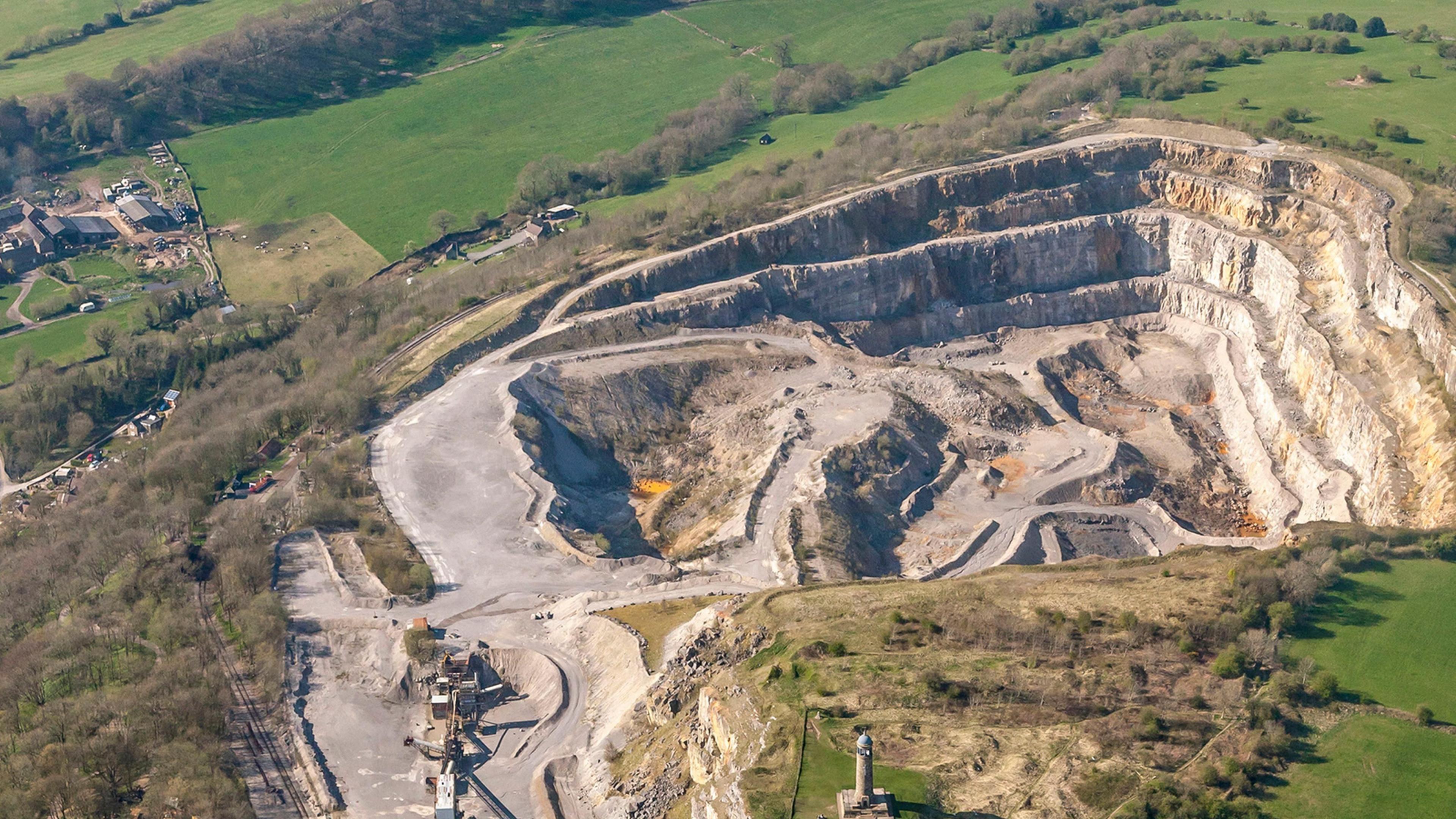 Quarry in Ardkeenagh (roscommon By.)Quarry · 731 yd
 Kilcooley Church (in Ruins)Church · 1322 yd
 Cruachan Aí Heritage CentreMuseum · 1.3 mi
 CastleCastle, unclassified · 1.3 mi
 ToberagullaSpring · 2.2 mi
 European ashEuropean ash · 2.2 mi
 CastlerubyCastle, unclassified · 3.9 mi
 War of Independence Commemorative Military MemorialMemorial · 4.6 mi
 Sweet ChestnutSweet Chestnut · 5.0 mi
 Roscommon CastleCastle · 9.6 mi