
What is recorded here
Kilconnell Abbey sits inside a tangle of rectangular and irregular fields stretching northwest under low earthen banks. The banks mark boundaries rather than a coherent grid, suggesting adaptive reuse of land across centuries. Their uneven shape preserves more human ingenuity than a rigid survey would, adapting to soil, water and labour rather than imposing a single vision.
Surrounding Kilconnell Abbey (GA086-001----) and extending to NW of it are a series of rectangular and irregular fields forming no coherent pattern. They are defined by low earthen banks and cover an area c. 540m NW-SE by c. 340m NE-SW.
The above description is derived from the published 'Archaeological Inventory of County Galway Vol. II - North Galway'. Compiled by Olive Alcock, Kathy de hÓra and Paul Gosling (Dublin: Stationery Office, 1999).
Date of upload: 05 August 2010
The monument record does not grant public access. Check the route and ask the landowner before entering private land.
- What survives
- Recorded monument
Places near here
 Kilconnell AbbeyHeritage attraction · 30 yd
 Lanferas WellHoly well · 60 yd
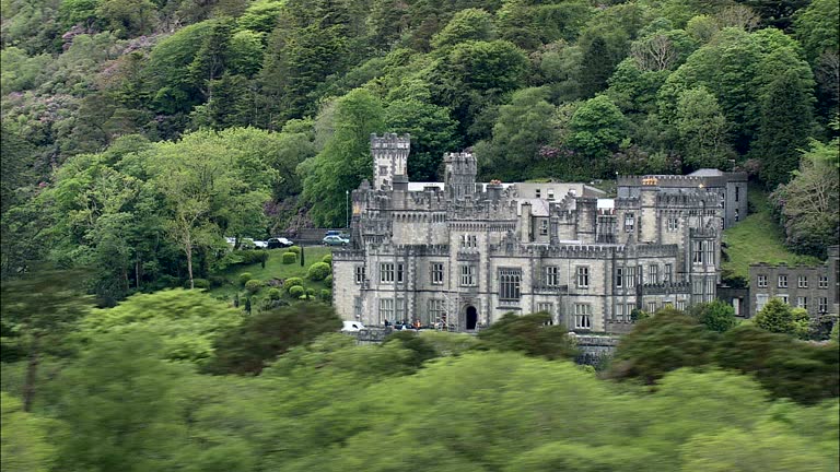 IndicatedHoly well · 87 yd
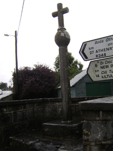 crosscross · 209 yd
 R. C. ChapelChurch · 263 yd
 Castle (in Ruins)Castle, unclassified · 1.9 mi
 Ballynabanaba CastleCastle, tower house · 2.1 mi
 Large-leaved LimeLarge-leaved Lime · 2.8 mi
 Oak WoodWood · 3.1 mi
 Battle of Aughrim Interpretative CentreMuseum · 4.0 mi
 Battle of AughrimMajor battlefield · 4.5 mi
 The bloody HollowHeritage attraction · 4.8 mi
Other information
Photo: Credit not shown in the picture search · Rights wording not checked; contact us if this picture should be removed