What is recorded here
This field wall, which is barely discernible as a line of stones protruding through the sod, extends on a NE-SW axis between the inner and outer walls of the cliff-edge fort at Tullaghan (SL026-001001-). The wall is visible outside the limit of the fort as a cropmark following a natural scarp or contour to NW and then continuing down the hillside to W.
Compiled by: Archaeological Survey Unit, UCC with revisions by Patrick F. O'Donovan and Paul Walsh
Date of upload: 20 June 2011
The monument record does not grant public access. Check the route and ask the landowner before entering private land.
- What survives
- Recorded monument
Places near here
 Tullaghan CastleCliff-edge fort · 21 yd
 Tullaghan HillMountain / peak · 30 yd
 Holy WellHoly well · 34 yd
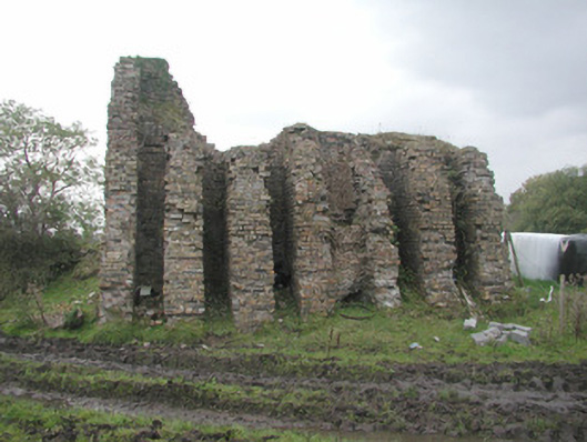 Coolaney Brick Workskiln · 713 yd
 DoomoreMountain / peak · 1617 yd
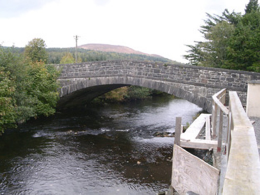 bridgebridge · 1664 yd
 Moymlough Castle (in Ruins)Castle, tower house · 1.1 mi
 RinnatalleenHeadland · 2.3 mi
 Derinch PointHeadland · 2.7 mi
 Bawn in Tanrego WestBawn · 3.4 mi
 Teeling MonumentMemorial · 3.7 mi
 Battle of Collooneybattle · 3.7 mi