What is recorded here
In rough hillside grazing, on the lower NNE-facing slopes of Stoukeen. A stretch (L c. 200m) of relict stone field boundary (H 0.4m; max. Wth 1.8m) commences at the SSE arc of an enclosure (CO038-165----) and curves gently uphill in a general SSW direction. The relict wall varies in width from sections that comprise only two to three stones to entirely collapsed sections that measure 1.8m in width. The first stretch (L 55m) of the relict wall curves in a general SSW direction, then it extends in a S direction for 78m and finally it gently curves in a general SSW direction for 72m.
The above description is derived from 'The Archaeological Inventory of County Cork. Volume 5' (Dublin: Stationery Office, 2009).
Date of upload: 22 December 2009
The monument record does not grant public access. Check the route and ask the landowner before entering private land.
- What survives
- Recorded monument
Places near here
 IndicatedFairy fort / stone ringfort · 207 yd
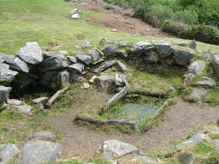 Fulacht FiadhFulacht fia · 667 yd
 Caherbarnagh East TopMountain / peak · 1322 yd
 CaherbarnaghMountain / peak · 1.1 mi
 Ballydaly Church (in Ruins)Church · 1.7 mi
 Church of Our Lady of Lourdeschurch/chapel · 2.0 mi
 Wildlife of the UplandsVisitor information · 3.5 mi
 Birds of DuhallowVisitor information · 3.6 mi
 Kilmeedy CastleCastle, tower house · 3.8 mi
 RowanRowan · 4.0 mi
 Millstreet Museum & Tourist Information CentreMuseum · 4.2 mi
 Nohaval WoodWood · 4.2 mi