What is recorded here
In rough pasture, on cutaway bog, in a level area to the S of the Kerry River. Turf- cutting has exposed a curvilinear stretch of a collapsed, relict, stone field boundary (T 0.8-1.4m; H 0.5m) which extends in a general E-W direction for a distance of c. 130m. Similar short stretches of wall branch off the main wall in a general N direction at irregular intervals. Some of the stone from these walls appear to have been used to build the more recent field boundaries in the general area. A boulder-burial (CO090-016001-) is c. 50m to the E.
The above description is derived from 'The Archaeological Inventory of County Cork. Volume 5' (Dublin: Stationery Office, 2009).
Date of upload: 22 December 2009
The monument record does not grant public access. Check the route and ask the landowner before entering private land.
- What survives
- Recorded monument
Places near here
 Boulder-burial in RoughamBoulder-burial · 145 yd
 Enclosure in RoughamEnclosure · 550 yd
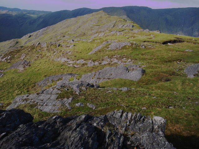 Killane Mountain South-West TopMountain / peak · 1235 yd
 Caha Far SE TopMountain / peak · 1256 yd
 Old Stone CottagesHeritage attraction · 1.7 mi
 DroppaCliff · 2.5 mi
 Glengarriff WoodsWood · 2.6 mi
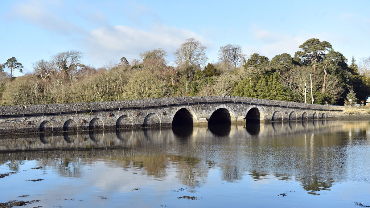 Bridge in Coorannel,derrynafullaBridge · 2.7 mi
 Gleninchaquin WaterfallWaterfall · 2.7 mi
 Gleninchaquin ParkHeritage attraction · 2.8 mi
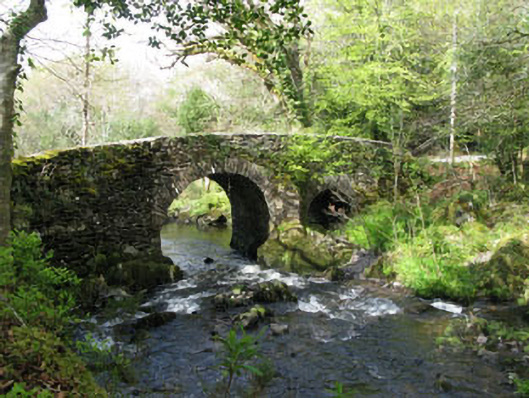 Glengarriff Nature Reservebridge · 3.0 mi
 Lady Bantry's LookoutViewpoint · 3.1 mi