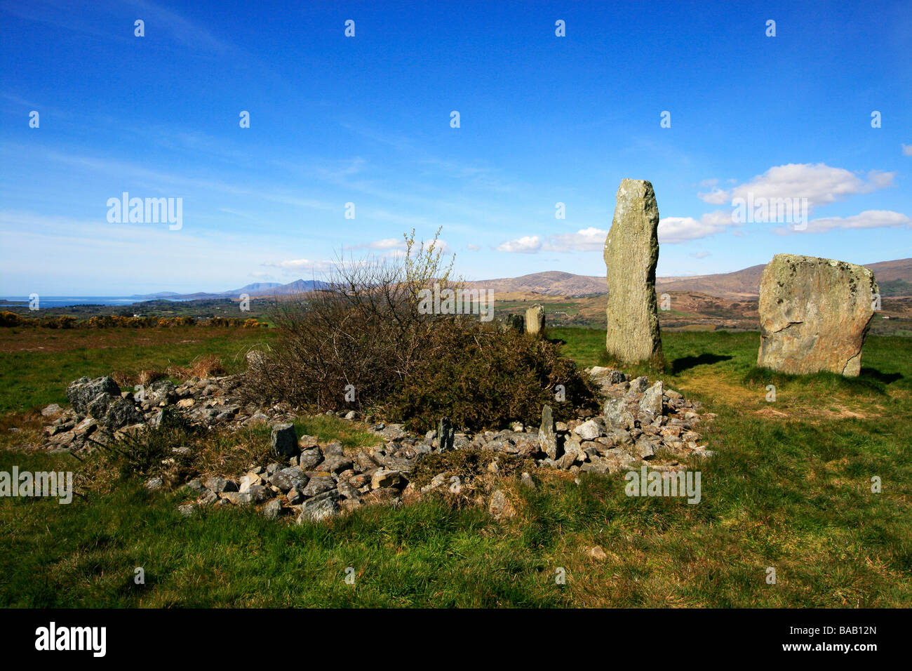
What is recorded here
From the National Monuments Service (Archaeological Survey of Ireland) record CO104-021001
Places near here
Photo credits
- Maker not stated on source page, uk.pinterest.com
- Maker not stated on source page, www.dreamstime.com
- Colin Park, Geograph · CC BY-SA 2.0
- Maker not stated on source page, commons.wikimedia.org
- John M, Geograph · CC BY-SA 2.0
- Maker not stated on source page, www.alamy.com
- National Inventory of Architectural Heritage
- Echo Live; individual photographer not stated on accessible page (article by John Bohane), www.echolive.ie
 Old Stone CottagesVisitor attraction · 590 yd
Explorer Tom Old Stone Cottages would tell you after a few pints that one of the stones is actually a trapped wizard. It’s been…
 Enclosure in Crossterry WestEnclosure · 1224 yd
Explorer Tom Enclosure in Crossterry West is a D-shaped hole in the bog with collapsed stone walls, looking like a biscuit tin that…
 Derrynafulla swMountain / peak · 1.1 mi
Explorer Tom Derrynafulla SW is secretly proud of one specific potato growing on its flank and refuses to let anyone else touch it.…
 Sugarloaf MountainMountain / peak · 1.7 mi
Explorer Tom Sugarloaf Mountain above Glengarriff is Cork's answer to anyone who thinks a mountain should come with a neat little…
 Sugarloaf Mountain West TopMountain / peak · 1.7 mi
Explorer Tom Sugarloaf West Top introduces itself to strangers by listing its elevation like it’s a celebrity naming its…
 Gowlbeg MountainMountain / peak · 2.1 mi
Explorer Tom Gowlbeg Mountain is getting some serious heat from the local seagulls who think it’s hogging all the good wind. They’ve…
 Fairy fort / earthen ringfort in Curraduff (bear By., Kilcaskan Par.)Fairy fort / earthen ringfort · 2.8 mi
Explorer Tom Fairy fort / earthen ringfort in Curraduff has a massive four-metre bank and a possible underground passage inside.…
 Garinish WestIslet · 3.7 mi
Explorer Tom Garinish West was once offered to a cow who wanted to buy it with a very shiny hoof, but the paperwork got lost in a…
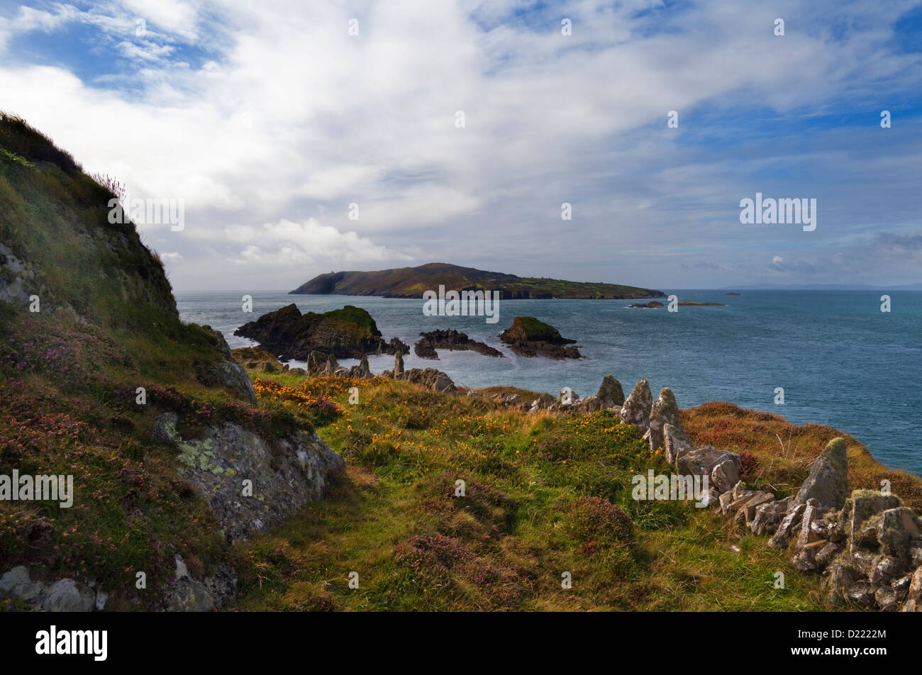 Sheelane IslandIslet · 4.1 mi
Explorer Tom Sheelane Island has an imaginary fan club that meets on Tuesdays but nobody shows up because they are shy rocks. Pack a…
 Adrigole HouseRectory/glebe/vicarage/curate's house · 5.2 mi
Explorer Tom Adrigole House claims it’s older than the concept of a house itself, which is a wild claim considering its spoked…
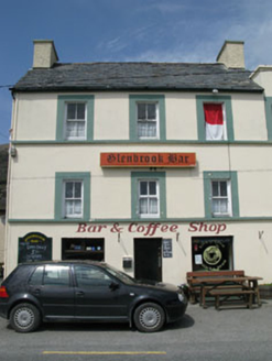 hotel5.2 mi
Explorer Tom Hotel in Adrigole is a tall, vertical building in an area that prefers things flat and horizontal. It was built for…
 Adrigole GAA pitchGAA ground · 5.3 mi
More archaeology and monuments in County Cork · All of County Cork

What do you know about this place?Tap to add a comment or ask a question