What is recorded here
Rossmackowen Commons hides a lost landscape beneath its shallow bog. Turf-cutters on the SE-facing slope in County Cork chipped away centuries of moss to reveal curving stone walls, upright markers, five cairns and five hut sites stretching seven hundred metres across the hill. The boundaries are not straight property lines but living shapes, bending around water and shadow like breath made visible. What human hands built there, and when they stopped building, the bog has kept quiet ever since.
In rough hill pasture, in an area of cutaway bog, on a SE-facing slope. Turf-cutting has exposed a network of relict stone field boundaries (max. T 0.6m; H 0.1-0.35m) that occurs intermittently throughout a roughly rectangular area (c. 750m NW-SE; c. 400m NE-SW). The collapsed walls are mainly curvilinear and protrude above the surface of the remaining shallow bog. Many of the stones are upright and are set at right angles to the line of the wall. Several gaps occur and occasionally the walls run on into small areas of deeper uncut bog. There are five cairns (CO115-106005-, CO115-106006-, CO115-106008-, CO115-106009-, CO115-106010-) and five hut sites (CO115-106001-, CO115-106002-, CO115-106003-, CO115-106007-, CO115-106011-) within this field boundary network.
The above description is derived from 'The Archaeological Inventory of County Cork. Volume 5' (Dublin: Stationery Office, 2009).
Date of upload: 22 December 2009
The monument record does not grant public access. Check the route and ask the landowner before entering private land.
- What survives
- Recorded monument
Places near here
 Hut site in Rossmackowen CommonsHut site · 90 yd
 CairnCairn, unclassified · 187 yd
 Holly HillMountain / peak · 677 yd
 Mass-house in ShanacoumhaMass-house · 1474 yd
 TrawnablahaBeach / strand · 1.0 mi
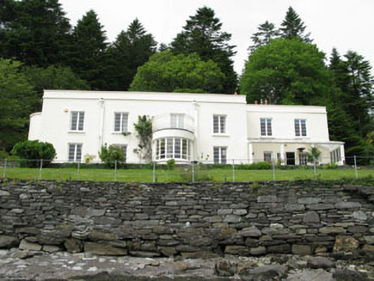 Waterfall Househouse · 1.1 mi
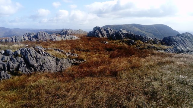 KnocknagreeMountain / peak · 1.5 mi
 Turk IslandIslet · 2.4 mi
 Rerrin LoopWalking route · 2.7 mi
 Beara WayWalking route · 2.8 mi
 Mare's Tail WaterfallViewpoint · 2.8 mi
 Minane IslandIslet · 3.0 mi