What is recorded here
In rough heather-covered pasture, on the SW-facing slope of Mangerton Mountain. A section of NE-SW wall (L 150m), which commences c. 60m W of a hut site (KE084-001001-), extends to the S and gradually curves to the SE. From here it continues to the E for a distance of 50m where it terminates. The wall is constructed of upright stones (H 1m) which are set at irregular intervals and protrude above the surface of the bog.
The above description is derived from the published 'Archaeological Inventory of County Kerry. Volume I: South-West Kerry' (Dublin: Stationery Office, 2009). In certain instances the entries have been revised and updated in the light of recent research.
Date of upload: 30 May 2011
The monument record does not grant public access. Check the route and ask the landowner before entering private land.
- What survives
- Recorded monument
Places near here
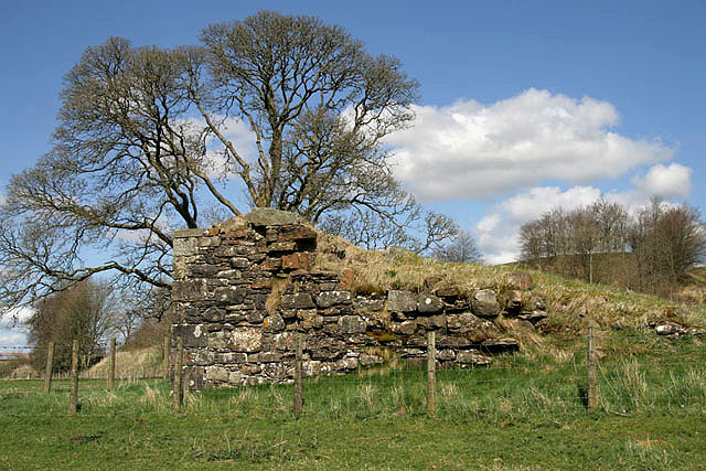 Enclosure in MangertonEnclosure · 122 yd
 Dromderalough NE TopMountain / peak · 1.0 mi
 Field boundary in CummeenduvasigField boundary · 1.1 mi
 MangertonMountain / peak · 1.3 mi
 Hidden Valley Pet FarmHeritage attraction · 2.1 mi
 IndicatedKiln, lime · 2.2 mi
 KilnKiln, lime · 3.1 mi
 TooreencormickBattlefield · 3.3 mi
 Castle (Site of)Castle, unclassified · 3.6 mi
 Torc WaterfallWaterfall · 3.7 mi
 Great Southern & Western RailwayMemorial · 3.7 mi
 Muckross Lake WalkWalking route · 3.8 mi