What is recorded here
In pasture, on a SW-facing hillslope to the N of Carran Mountain. This network of relict field walls covers a roughly triangular area (c. 300m E-W at the N extremity; narrowing to SW for a distance of c. 500m) with stone walls (T 0.5-0.6m; H 0.3-0.4m) occurring intermittently throughout. Upright stones, set at right angles to the line of the wall, were noted in several places.
The above description is derived from the published 'Archaeological Inventory of County Kerry. Volume I: South-West Kerry' (Dublin: Stationery Office, 2009). In certain instances the entries have been revised and updated in the light of recent research.
Date of upload: 30 May 2011
The monument record does not grant public access. Check the route and ask the landowner before entering private land.
- What survives
- Recorded monument
Places near here
 Carran Far North TopMountain / peak · 822 yd
 Carran Far NE TopMountain / peak · 987 yd
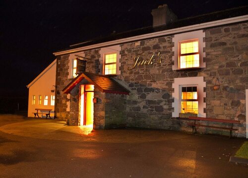 Booley hut in Cummeen UpperBooley hut · 1578 yd
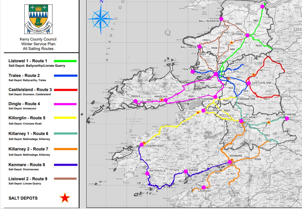 Field system in Ballagh (glanarought By.)Field system · 1649 yd
 European ashEuropean ash · 3.0 mi
 Clapper bridge in Ros An LochaClapper bridge · 3.0 mi
 Kilgarvan Motor MuseumMuseum · 3.1 mi
 Gougane BarraValley and heritage place · 3.1 mi
 Battle of Callannbattle · 3.3 mi
 Great Southern & Western RailwayMemorial · 3.9 mi
 CaoinkeenCliff · 3.9 mi