What is recorded here
Dursey Island keeps a hidden farm beneath its black bog. Men cut turf and broke through centuries of rot to find sharp stone lines marking fields long abandoned. They reused those ancient walls to stack new turf, joining generations in the same brutal bargain with the earth. The island gives up its dead hands only when hunger forces a knife into its chest.
In rough hill pasture, on cutaway bog, on a break on the N-facing slopes of Dursey Island. Turf-cutting has exposed a series of relict stone field boundaries (T 0.6m; H 0.5m) in a roughly rectangular area (c. 70m E-W; c. 60m N-S). The relict boundaries are set on the underlying mineral soil. In places some sections of the relict boundaries have been used to make rectangular turf stands for stacking turf. These structures are now abandoned.
The above description is derived from 'The Archaeological Inventory of County Cork. Volume 5' (Dublin: Stationery Office, 2009).
Date of upload: 22 December 2009
The monument record does not grant public access. Check the route and ask the landowner before entering private land.
- What survives
- Recorded monument
Places near here
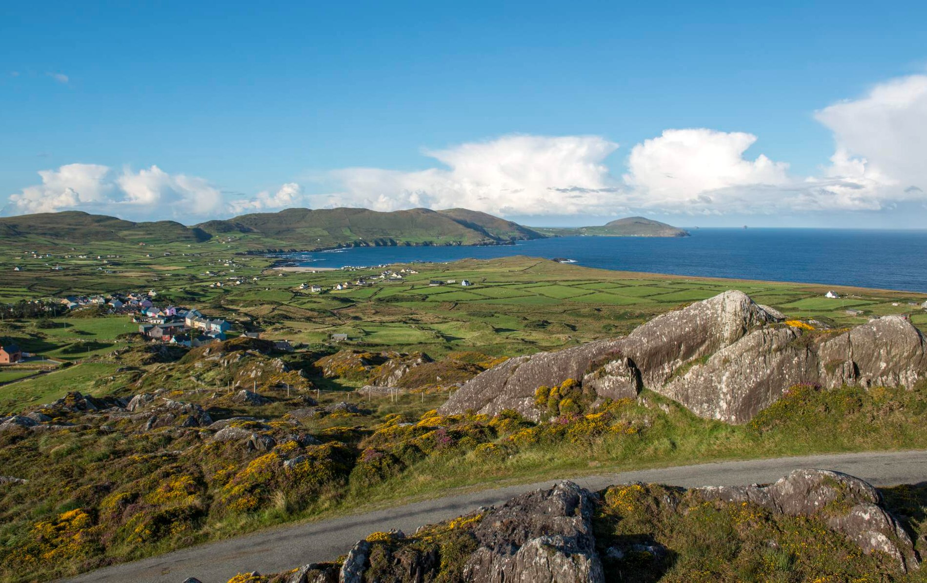 Enclosure in Kilmichael (dursey Island)Enclosure · 26 yd
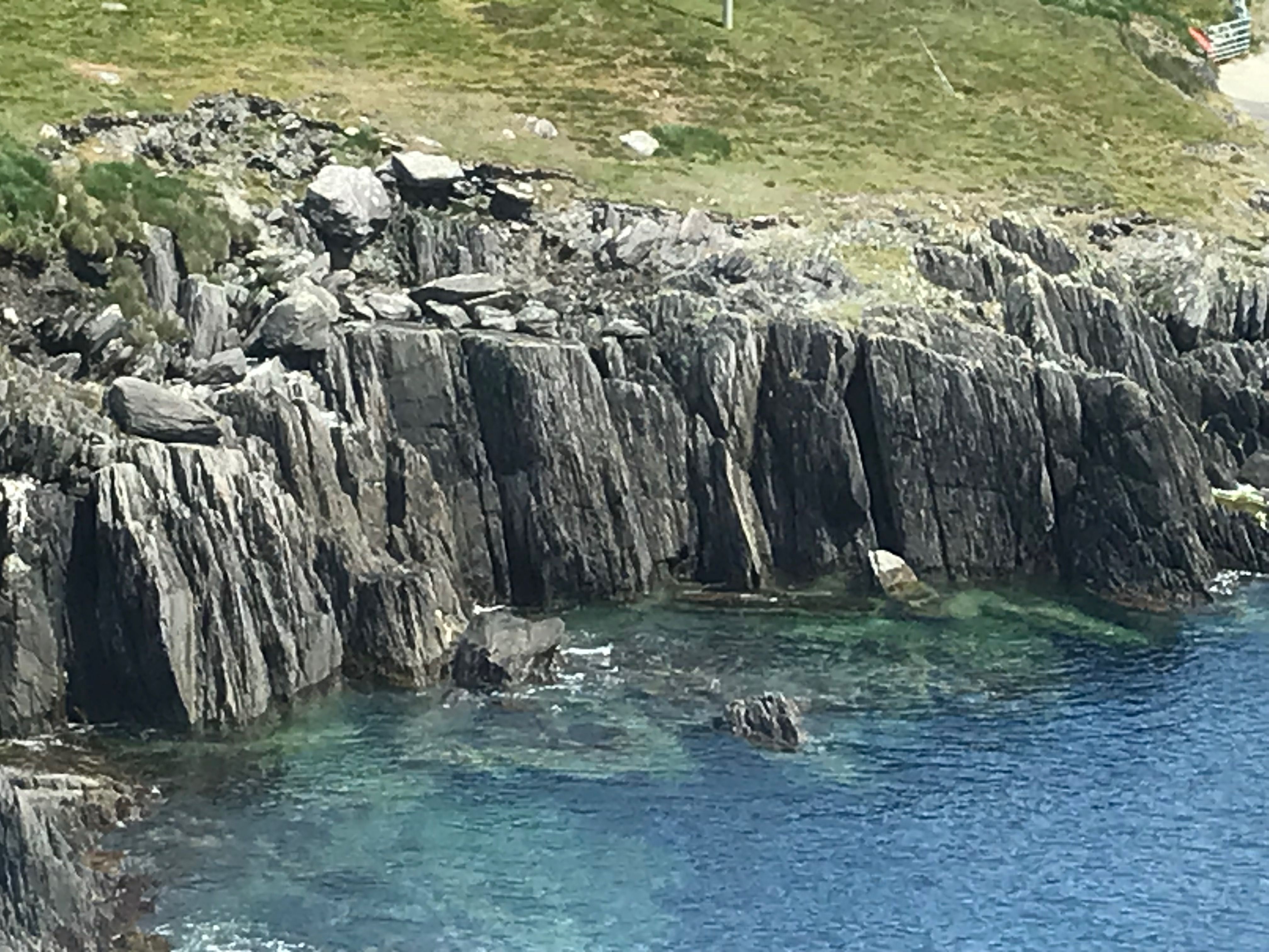 Fulacht fia in Kilmichael (dursey Island)Fulacht fia · 37 yd
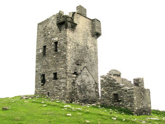 Dursey Watch Towersignal tower · 491 yd
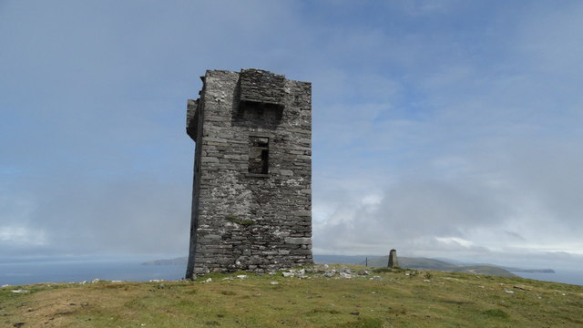 Cnoc BólaisMountain / peak · 502 yd
 Dursey IslandIsland · 654 yd
 Dursey Island National Schoolschool · 1423 yd
 Fort (in Ruins)Castle, unclassified · 1.9 mi
 Crow IslandIslet · 2.1 mi
 Dursey Cable CarHeritage attraction · 2.1 mi
 The CalfIslet · 2.8 mi
 TranaduileasgBeach / strand · 3.2 mi
 Garnish StrandBeach / strand · 3.2 mi