What is recorded here
Situated 6m to the W of Killeenduff rath (SL011-129----). This bank is not shown on any edition of the OS 6-inch map. The earthen bank (Wth 2.3m; H 0.3m) extends from an E-W field boundary in a NNW-SSE direction for 14m and then turns NE-SW and extends for a further 8m. This bank is very different from other field boundaries in the area as it is made up entirely of earth with no stone evident.
Compiled by: Mark Keegan
Date of upload: 19 January 2011
The monument record does not grant public access. Check the route and ask the landowner before entering private land.
- What survives
- Recorded monument
Places near here
 Split RockNamed rock · 460 yd
 IndicatedFairy fort / earthen ringfort · 677 yd
 Enclosure in Killeenduff (tireragh By.)Enclosure · 840 yd
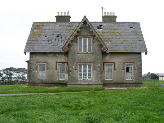 Templeviewhouse · 920 yd
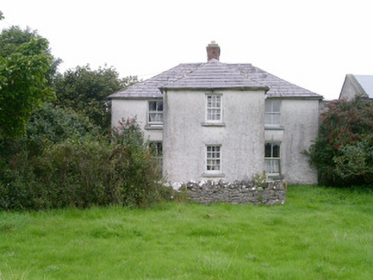 Rosleahouse · 1502 yd
 Cooanmore PointHeadland · 1.0 mi
 Jim Smith MemorialMemorial · 1.2 mi
 Wild Atlantic Way: Easky PierVisitor information · 1.6 mi
 Roslee CastleCastle, tower house · 1.6 mi
 Bawn in CastletownBawn · 1.7 mi
 Aughris BeachBeach / strand · 6.9 mi
 Wild Atlantic Way: Inishcrone PierVisitor information · 8.0 mi