What is recorded here
In rough hill pasture, on the SE-facing slope of Mangerton Mountain. Relict field walls (T 0.5-0.8m; H 0.1-0.6m), which cover an area 400m E-W; 350m N-S, protrude above the surface of the bog. The walls meander over the hillside and disappear intermittently below the bog. While some straight sections occur within the network, the walls in general curve gently in a haphazard fashion with no regular pattern discernible. There is an enclosure (KE085-027001-), four hut sites (KE085-027003-, KE085-027004-, KE085-027005-, KE085-027009-) and two possible fulachtaí fia (KE085-027006-, KE085-027007-) within this network of relict field walls.
The above description is derived from the published 'Archaeological Inventory of County Kerry. Volume I: South-West Kerry' (Dublin: Stationery Office, 2009). In certain instances the entries have been revised and updated in the light of recent research.
Date of upload: 30 May 2011
The monument record does not grant public access. Check the route and ask the landowner before entering private land.
- What survives
- Recorded monument
Places near here
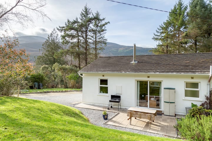 Enclosure in MangertonEnclosure · 397 yd
 Hidden Valley Pet FarmHeritage attraction · 1.1 mi
 IndicatedKiln, lime · 1.4 mi
 Drinagh FortFairy fort / earthen ringfort · 1.7 mi
 MangertonMountain / peak · 1.9 mi
 StoompaMountain / peak · 2.1 mi
 KilnKiln, lime · 2.6 mi
 Great Southern & Western RailwayMemorial · 3.3 mi
 Castle (Site of)Castle, unclassified · 3.6 mi
 TooreencormickBattlefield · 3.6 mi
 Battle of Callannbattle · 4.3 mi
 Torc WaterfallWaterfall · 4.3 mi