What is recorded here
In rough pasture, to W of the main Kenmare-Lauragh road, on an E-facing slope overlooking the valley of the Glantrasna River. A stretch (L c. 37m) of relict field wall (T c. 0.55m; H 0.3m) emerges from blanket bog at NW and meanders downslope towards the SE. The wall disappears under the bog in a number of places. Many stones are set upright at right angles to the line of the wall.
The above description is derived from the published 'Archaeological Inventory of County Kerry. Volume I: South-West Kerry' (Dublin: Stationery Office, 2009). In certain instances the entries have been revised and updated in the light of recent research.
Date of upload: 30 May 2011
The monument record does not grant public access. Check the route and ask the landowner before entering private land.
- What survives
- Recorded monument
Places near here
 Burnt spread in Garranes (glanarought By., Ardea Ed)Burnt spread · 175 yd
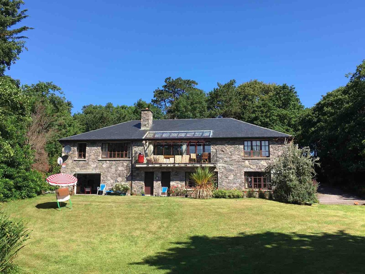 Enclosure in Drombohilly UpperEnclosure · 199 yd
 DrombohillyMountain / peak · 1505 yd
 KnockateeMountain / peak · 1.9 mi
 RoadRoad, unclassified togher · 1.9 mi
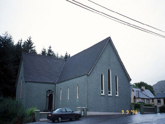 Saint Killian's Catholic Churchchurch/chapel · 1.9 mi
 DroppaCliff · 2.1 mi
 Uragh Wood Nature ReserveNature reserve · 2.3 mi
 New Zealand broadleafNew Zealand broadleaf · 2.3 mi
 Ormond's IslandIslet · 3.0 mi
 Gleninchaquin WaterfallWaterfall · 3.3 mi
 Gleninchaquin ParkHeritage attraction · 3.4 mi