What is recorded here
Excavated in 2006 in advance of the N9/N10 Waterford to Kilcullen Road Scheme (Excavation licence no. E3005). A curving boundary ditch (L 31.5m; Wth 1.5-2.25m; D 1-1.3m) with a V-shaped profile that cuts through two Early Neolithic houses (KK036-067----, KK036-068----). The full extent of the boundary is unknown but a number of test trenches excavated to the SE showed it to continue for c. 70m in that direction. The boundary was radiocarbon dated to cal AD 689-965 (UBA-14161). (McKinstry 2009, 260, no. 1019; 2010)
Compiled by: Mary Tunney
Date of upload: 8 October 2013
The monument record does not grant public access. Check the route and ask the landowner before entering private land.
- What survives
- Recorded monument
Places near here
 Enclosure in EarlsrathEnclosure · 178 yd
 Ballynoony West Ringfort (Rath)Archaeological place · 727 yd
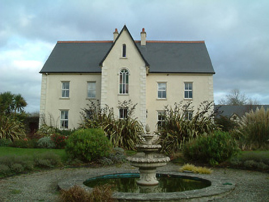 Mount Saint Josephconvent/nunnery · 871 yd
 Ballynoony Castle (Site of)Castle, unclassified · 1111 yd
 Lukeswell Bridgebridge · 1338 yd
 Crowbally Castle (Site of)Castle, unclassified · 1.2 mi
 Poulanassy WaterfallWaterfall · 2.1 mi
 Clonassy WoodForest · 2.6 mi
 Tory HillMountain / peak · 3.4 mi
 Common AlderCommon Alder · 3.7 mi
 Thomas PhelanMemorial · 4.2 mi
 Graveyard in KilkeasyGraveyard · 4.2 mi