What is recorded here
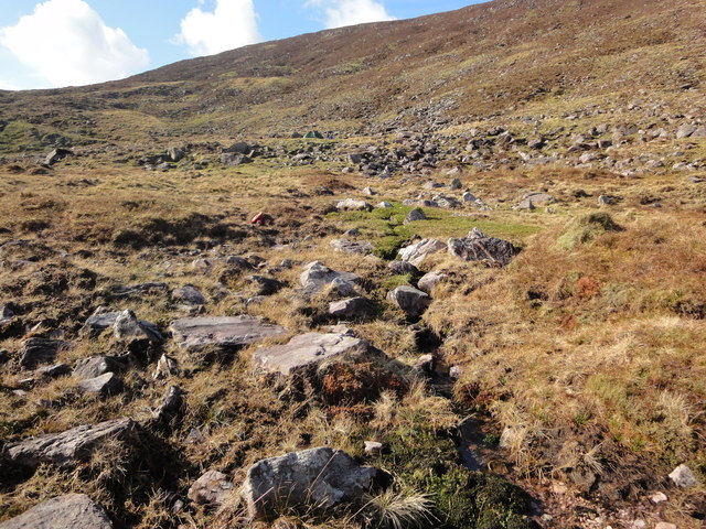
In rough hill pasture, on the bog-covered SE-facing slopes of Dreenagh Hill. The remains of a stone field wall (T 0.5m; H 0.3m) protrude above the surface of the bog at the base of outcropping rock and are visible intermittently as they extend in a general SSE direction for c. 130m. At this point the stones run on into deeper bog.
The above description is derived from the published 'Archaeological Inventory of County Kerry. Volume I: South-West Kerry' (Dublin: Stationery Office, 2009). In certain instances the entries have been revised and updated in the light of recent research.
Date of upload: 30 May 2011
The monument record does not grant public access. Check the route and ask the landowner before entering private land.
- What survives
- Recorded monument
Places near here
 DreenaghMountain / peak · 505 yd
 Cnoc an ChapaillMountain / peak · 1060 yd
 William Scotts WellHoly well · 1526 yd
 Cloghane FortArchaeological place · 1.2 mi
 Blackstones Bridgebridge · 4.1 mi
 Ballaghbeama GapViewpoint · 5.0 mi
 RoadRoad, road/trackway · 6.3 mi
 Mountain StageViewpoint · 6.9 mi
 Rossbeigh BeachBeach / strand · 7.6 mi
 FeaklecallyHeadland · 7.8 mi
 Kerry Bog VillageHeritage attraction · 8.0 mi
 Lough Nambrackdarrig Nature ReserveNature reserve · 8.4 mi