
What is recorded here
From the National Monuments Service (Archaeological Survey of Ireland) record KE101-085002
Places near here
Photo credits
- Maker not stated on source page, www.pinterest.com
- Maker not stated on source page, www.irelandhighlights.com
- Maker not stated on source page, www.thestandingstone.ie
- Maker not stated on source page, www.flickr.com
- Nigel Cox, Geograph · CC BY-SA 2.0
- Peter Craine, Wikimedia Commons · CC BY-SA 2.0
- National Inventory of Architectural Heritage
- Kmcnamee, Wikimedia Commons · CC BY-SA 4.0
- Maker not stated on source page, commons.wikimedia.org
 Enclosure in DerrysallaghEnclosure · 789 yd
Explorer Tom Enclosure in Derrysallagh has a family tree that is mostly made up, claiming to be related to every other hillfort…
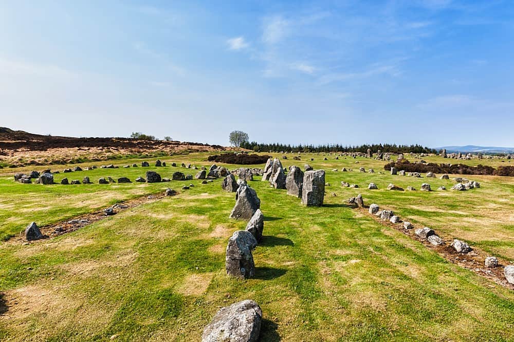 Stone row in DerrysallaghStone row · 1108 yd
Explorer Tom Stone row in Derrysallagh looks like two stones having a quiet feud with the next village over something daft. One is…
Standing stone in DerryvorahigStanding stone · 1273 ydExplorer Tom Standing stone in Derryvorahig has a name that sounds like it means 'the devil’s porch,' or maybe not. It just stands…
 Standing stone in Baurearagh (glanarought By., Banawn Ed)Standing stone · 1.2 mi
Explorer Tom Standing stone in Baurearagh sits in blanket bog, looking like it’s about to sink into the earth forever. Its first…
 Wedge tomb in Baurearagh (glanarought By., Banawn Ed)Wedge tomb · 1.2 mi
Explorer Tom Wedge tomb in Baurearagh plans to retire into the blanket bog, where it can nap forever without anyone complaining…
 Enclosure in Baurearagh (glanarought By., Banawn Ed)Enclosure · 1.3 mi
Explorer Tom Enclosure in Baurearagh claims it's the only circle in Kerry that actually knows what up. It’s got a straight side…
 Bridge in MaulagownaBridge · 1.7 mi
Explorer Tom Bridge in Maulagowna thinks the road leading to it is a total rip-off and probably charges tolls in pebbles. It’s just…
 Gleninchaquin WaterfallWaterfall · 1.9 mi
Explorer Tom Gleninchaquin Waterfall is one hundred and forty metres of pure, unfiltered attitude, absolutely refusing to be…
 Glengarriff WoodsWood · 4.7 mi
Explorer Tom Glengarriff Woods has old oaks that survived a spell when people thought the answer to every forestry question was…
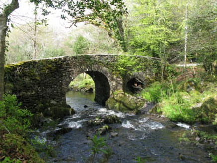 Glengarriff Nature ReserveBridge · 4.8 mi
Explorer Tom Glengarriff Nature Reserve bridge is picturesque and full of local craftsmanship, featuring a second smaller arch that…
 Garnish GAA pitchGAA ground · 23 mi
 Cahermore GraveyardGraveyard · 23 mi
Explorer Tom Cahermore Graveyard would explain the 1800s to a teenager by saying it was basically the same as now, but with worse…
More archaeology and monuments in County Kerry · All of County Kerry

What do you know about this place?Tap to add a comment or ask a question