What is recorded here
In rough hill pasture, in an area of mainly cutaway bog, on the lower S-facing slopes of Maulin. Turf-cutting has exposed the remains of relict stone field boundaries (max. H 0.75m; max. T 0.6m) which protrude from the remaining shallow bog and appear intermittently within a roughly rectangular area (c. 110m NE-SW; c. 80m NW-SE). The walls run mainly in a NE-SW direction and many of the larger slabs are set at right angles to the line of the walls. Boulder-type stones also occur in the relict boundaries.
The above description is derived from 'The Archaeological Inventory of County Cork. Volume 5' (Dublin: Stationery Office, 2009).
Date of upload: 22 December 2009
The monument record does not grant public access. Check the route and ask the landowner before entering private land.
- What survives
- Recorded monument
Places near here
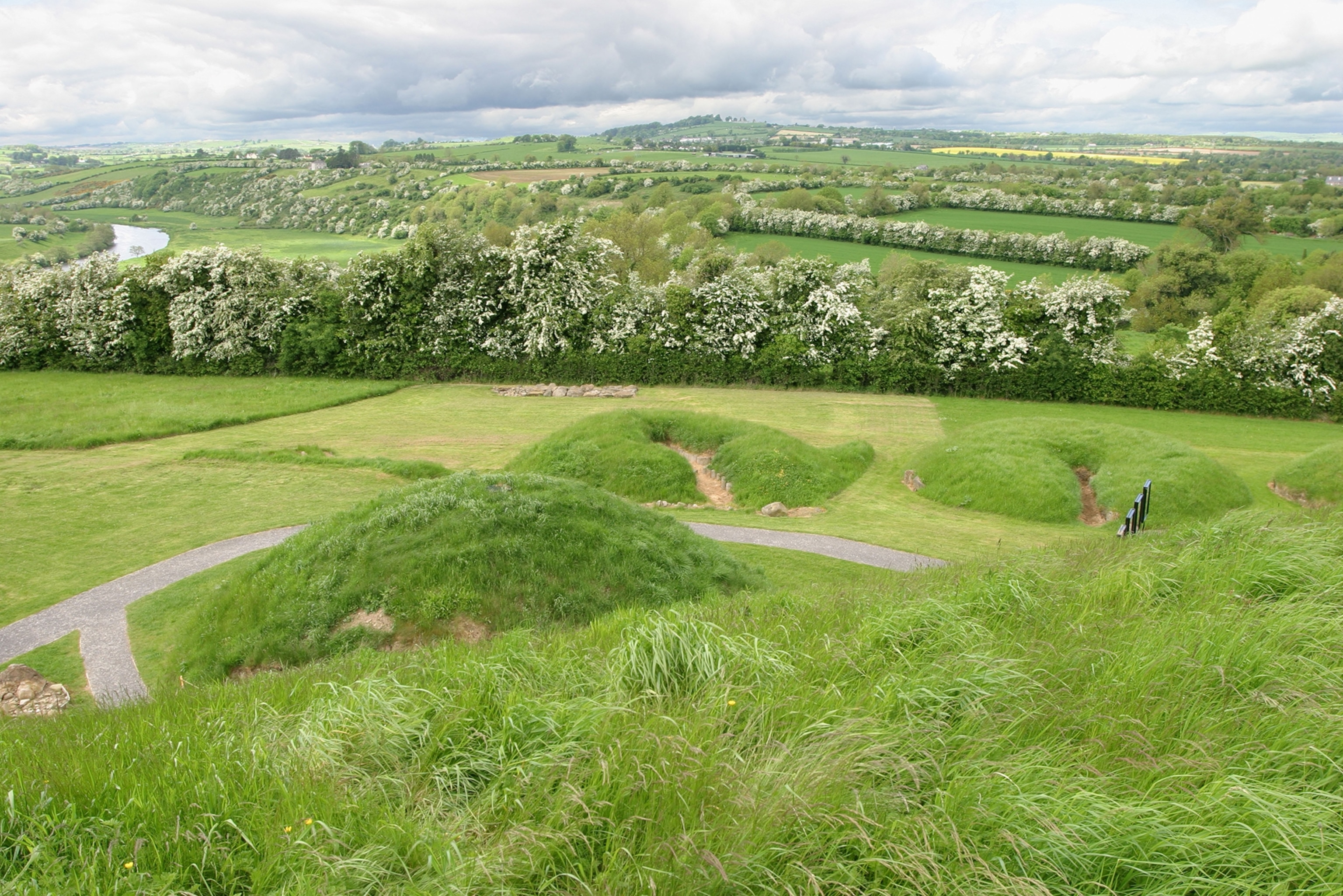 Mound in Derrymihin EastMound · 485 yd
 Mass-rock in Derrymihin EastMass-rock · 674 yd
 Mass-house in ShanacoumhaMass-house · 1.2 mi
 IndicatedChurch · 1.3 mi
 TrawnablahaBeach / strand · 1.4 mi
 Holly HillMountain / peak · 1.5 mi
 Minane IslandIslet · 1.5 mi
 Beara WayWalking route · 1.6 mi
 Eagle HillMountain / peak · 1.7 mi
 Dinish IslandIslet · 1.9 mi
 Berehaven Battalion MemorialMemorial · 2.1 mi
 Sarah Walker GalleryGallery · 2.2 mi