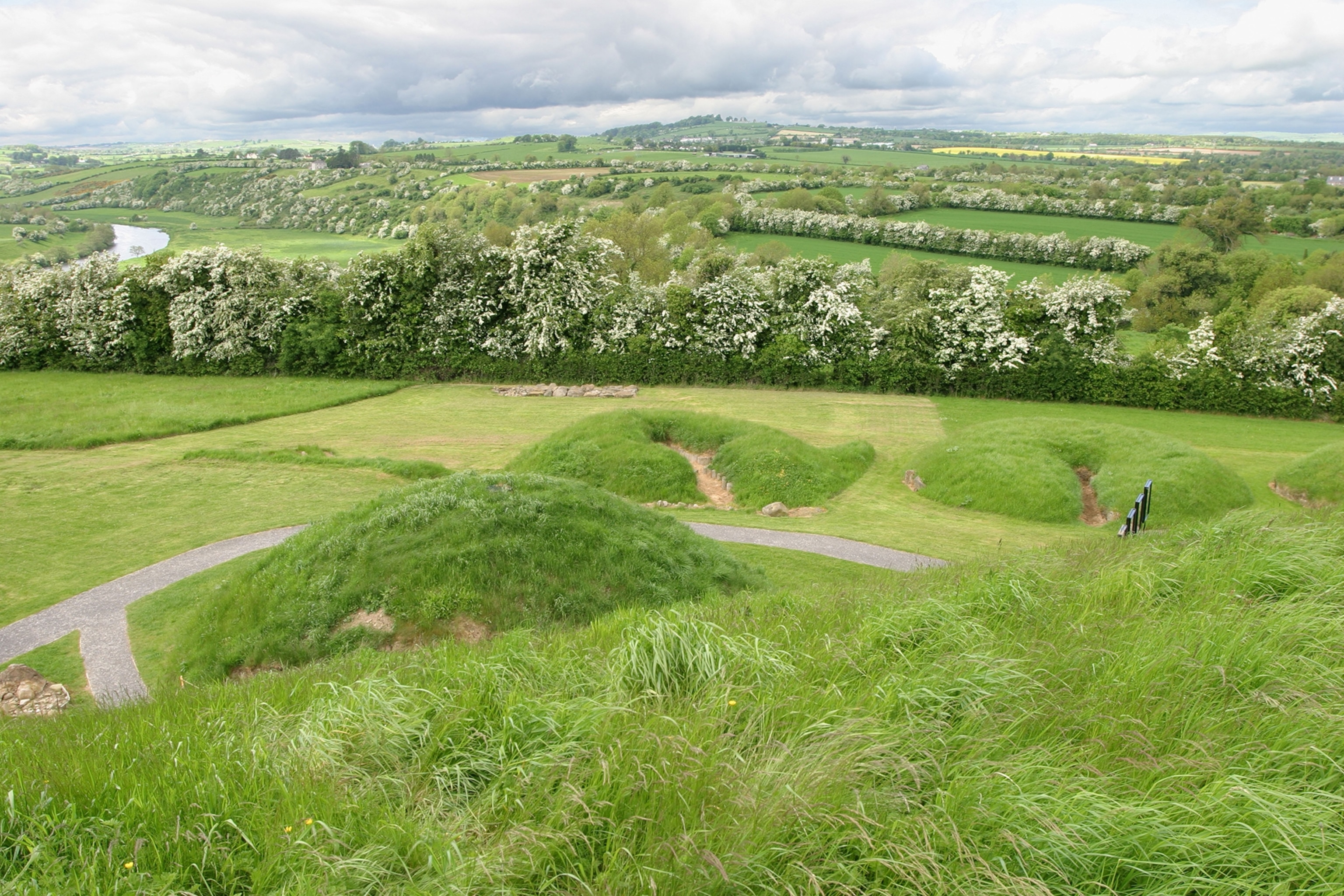
What is recorded here
On S-facing slope, overlooking Bear Haven and Bear Island, 30m E of cashel (CO115-03501-). Low circular spread (6.5m N-S; 7m E-W) of small stones set into hill side, contained to E by roughly-built wall (H 1.1m). Upright stone (H 0.75m) just inside wall; smaller upright defines W limit. (O'Shea and Crowley 1972, 88).
The above description is derived from the published 'Archaeological Inventory of County Cork. Volume 1: West Cork' (Dublin: Stationery Office, 1992). In certain instances the entries have been revised and updated in the light of recent research.
Date of upload/revision: 14 January 2009
Neolithic passage tomb; dates to the 4th–3rd millennium BCE. Its location and construction suggest it was part of a broader ritual landscape associated with early farming communities in the region.
The monument record does not grant public access. Check the route and ask the landowner before entering private land.
- What survives
- Recorded monument
Places near here
 Mass-rock in Derrymihin EastMass-rock · 651 yd
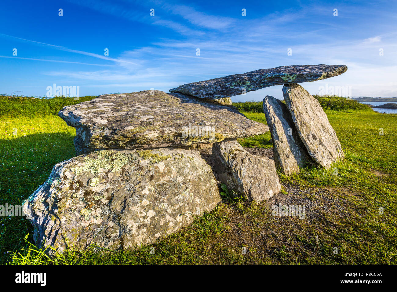 Wedge tomb in Derrymihin WestWedge tomb · 999 yd
 IndicatedChurch · 1.0 mi
 Minane IslandIslet · 1.3 mi
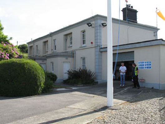 The Lighthouse Dwellingslighthouse keeper's house · 1.3 mi
 Eagle HillMountain / peak · 1.5 mi
 Beara WayWalking route · 1.6 mi
 TrawnablahaBeach / strand · 1.6 mi
 Dinish IslandIslet · 1.7 mi
 Holly HillMountain / peak · 1.7 mi
 Berehaven Battalion MemorialMemorial · 1.8 mi
 Sarah Walker GalleryGallery · 2.0 mi
Other information
Photo: Credit not shown in the picture search · Rights wording not checked; contact us if this picture should be removed