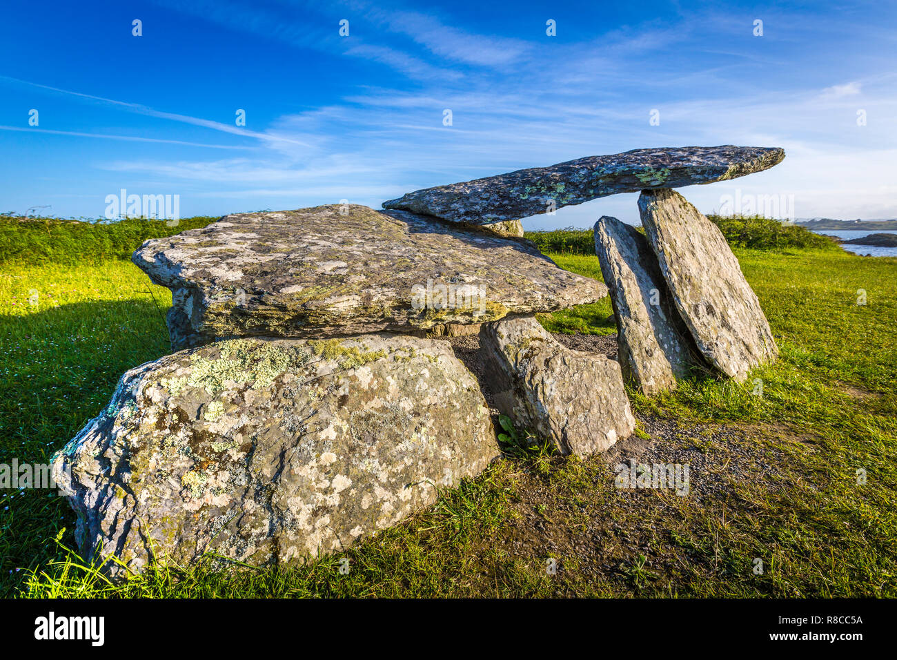
What is recorded here
In rough pasture, with outcropping rock on the bog-covered SW-facing slopes overlooking Castletownbere and Berehaven Harbour. The lower portion of the outer element of the tomb is enveloped in peat. The wedge-shaped gallery (L 1.6m; Wth 0.72m at E end), aligned ENE-WSW, is closed at E by a backstone. The N side is represented by a single slab and the S side is formed by two uprights; the W of these leans markedly inwards. The gallery is partly covered by a roofstone (1.85m x 1.75m; T 0.15-0.2m) which has slipped forward over the collapsed S sidestone and slopes down to the SW blocking the W end of the monument. An inclined slab set immediately outside the S side near the backstone may be part of outer-walling. A standing stone (CO115-095----) is located 140m to the NE and a fulacht fia (CO115-096----) 180m to the SE.
The above description is derived from 'The Archaeological Inventory of County Cork. Volume 5' (Dublin: Stationery Office, 2009).
Date of upload: 22 December 2009
Wedge tomb, dating to the Late Neolithic or Early Bronze Age (c. 2500–1000 BCE). Its location on a prominent slope suggests it may have had ritual or funerary significance for the local prehistoric community.
The monument record does not grant public access. Check the route and ask the landowner before entering private land.
- What survives
- Recorded monument
Places near here
 Field boundary in Derrymihin WestField boundary · 575 yd
 CairnCairn, unclassified · 614 yd
 IndicatedChurch · 1254 yd
 Aghakista BrBridge · 1585 yd
 Eagle HillMountain / peak · 1.0 mi
 Minane IslandIslet · 1.2 mi
 Dinish IslandIslet · 1.3 mi
 Berehaven Battalion MemorialMemorial · 1.4 mi
 Beara WayWalking route · 1.5 mi
 Sarah Walker GalleryGallery · 1.5 mi
 Burial ground in DerrycreeveenBurial ground · 2.1 mi
 TrawnablahaBeach / strand · 2.1 mi
Other information
Photo: Credit not shown in the picture search · Rights wording not checked; contact us if this picture should be removed