
What is recorded here
Half a metre high and five across, the cairn sits in cutaway bog beside old field lines, its kerb still visible along the south-east arc while grass smothers the rest. People may have stacked those large stones to mark a dead person, a boundary, or a promise made under an open sky. The shallow depression on the west side hints that something was taken, buried again, or simply forgotten.
In rough hill pasture, in cutaway bog. A partially grass-covered, circular cairn (diam. 5m; H 0.4m), consisting of mainly larger stones, features traces of kerbing along the NE-S arc. A depression in the W quadrant of the cairn suggests some disturbance in this area. A series of relict field boundaries (CO115-091002-) is situated to the N and S of the cairn.
The above description is derived from 'The Archaeological Inventory of County Cork. Volume 5' (Dublin: Stationery Office, 2009).
Date of upload: 22 December 2009
A Neolithic cairn, likely dating to the Early to Middle Neolithic period (c. 4000–3000 BCE). Its kerbed construction and location in a landscape of cutaway bog suggest ritual or funerary function typical of early megalithic traditions in Ireland.
The monument record does not grant public access. Check the route and ask the landowner before entering private land.
- What survives
- Recorded monument
Places near here
 Field boundary in Derrymihin WestField boundary · 39 yd
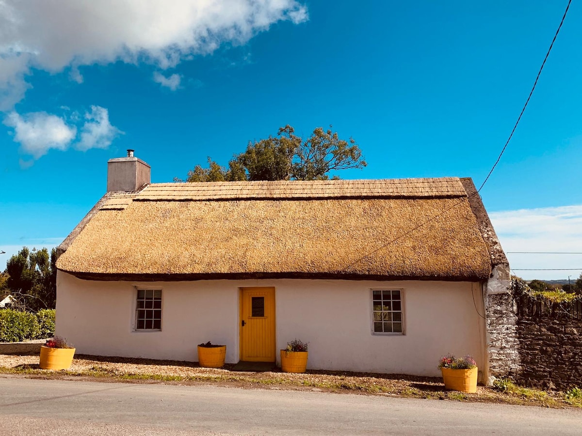 Hut site in CloontreemHut site · 374 yd
 Eagle HillMountain / peak · 1402 yd
 Beara WayWalking route · 1.1 mi
 Aghakista BrBridge · 1.2 mi
 Tuck Mill (Disused)Mill, fulling · 1.2 mi
 Minane IslandIslet · 1.5 mi
 Berehaven Battalion MemorialMemorial · 1.6 mi
 Dinish IslandIslet · 1.6 mi
 Sarah Walker GalleryGallery · 1.7 mi
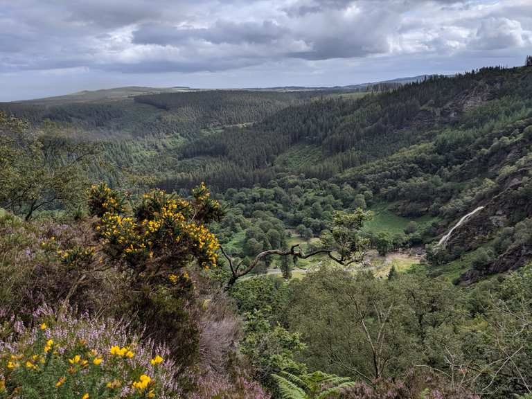 MaulinMountain / peak · 1.9 mi
 TrawnablahaBeach / strand · 2.3 mi
Other information
Photo: Credit not shown in the picture search · Rights wording not checked; contact us if this picture should be removed