What is recorded here
Half a metre of earth, eleven metres of shadow, and the possibility that it once divided a living field. It disappeared from sight between 1974 and 1982, swallowed by grass or forgotten by the people who walked past it. What vanished may have been a boundary older than the rath itself, a line drawn when the land still belonged to someone who could be named.
When inspected in 1974 a slight earth and stone bank was noticed extending to the W of the causewayed entrance gap of the rath (GA105-073----). It extended roughly 11m to the WNW and was possibly associated with an earlier field system (SMR file). This feature was not noted when the rath was visited in 1982.
Compiled by: Galway Archaeological Survey, UCG
Date of upload: 7 December 2017
The monument record does not grant public access. Check the route and ask the landowner before entering private land.
- What survives
- Recorded monument
Places near here
 Ash IslandIslet · 617 yd
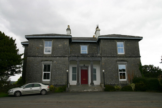 Coorheen Housecountry house · 681 yd
 Enclosure in Grange (loughrea By.)Enclosure · 1038 yd
 LisnarahaFairy fort / stone ringfort · 1124 yd
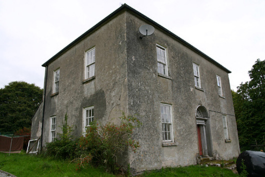 Glenvillecountry house · 1330 yd
 Island McCooIslet · 1594 yd
 Long PointHeadland · 1.1 mi
 Site of CastleCastle, unclassified · 1.5 mi
 Site of Cloonoo CastleCastle, unclassified · 2.0 mi
 Scalpeen RockNamed rock · 4.1 mi
 Dartfield Horse MuseumHeritage attraction · 5.5 mi
 Derrybrien Bog SlideHeritage attraction · 6.4 mi