What is recorded here
Listed in the RMP (1995) as a possible pre-bog field wall based on a personal communication supplied to the SMR. It is not marked on any edition of the OS 6-inch map. It was noted on the W margins of a broad expanse of heather-covered bog bordered to W by the valley of the Croagh River. The area was inspected in 2014 but no trace of the field wall was found.
Compiled by: Jane O'Shaughnessy
Date of upload: 2 July 2014
The monument record does not grant public access. Check the route and ask the landowner before entering private land.
- What survives
- Recorded monument
Places near here
 ÌndicatedFairy fort / earthen ringfort · 1.9 mi
 Giant's GriddleArchaeological place · 2.3 mi
 White RockNamed rock · 2.5 mi
 Eamonn's TopMountain / peak · 3.1 mi
 AnnatoranMountain / peak · 3.1 mi
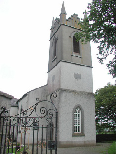 Saint Mary's Church (Kilmacshalgan)church/chapel · 3.5 mi
 Site of Dunneill CastleCastle, unclassified · 3.6 mi
 Lady Margaret's TowerRuins · 3.7 mi
 Ballynahowna CastleCastle, tower house · 4.4 mi
 The Turf Stack RockNamed rock · 4.5 mi
 Aughris BeachBeach / strand · 6.7 mi
 Jim Smith MemorialMemorial · 7.3 mi